Get Full Government Meeting Transcripts, Videos, & Alerts Forever!
Get email alerts on the Airport Land Use topic
No spam. Unsubscribe anytime.
Spalding-area leaders set subcommittees, outline funding and land‑use limits for new regional airport
Summary
Local officials and neighbors reviewed funding, FAA rules and an existing airport overlay while forming two subcommittees to refine land‑use rules and study noise, safety and environmental impacts around the planned Griffin–Spalding regional airport.
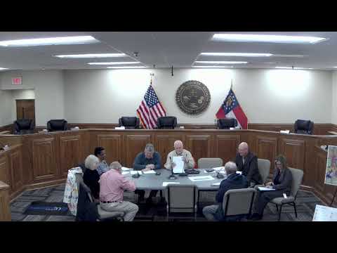
Leaders of the Griffin‑Spalding Outside‑the‑Fence Stakeholders Committee on Thursday described recent funding commitments for a new regional airport, reminded the public that the Federal Aviation Administration will control activity inside the airport boundary and formed two subcommittees to revise an existing airport overlay district and to study noise, safety and environmental effects on adjacent properties.
The meeting focused on aligning zoning and the county comprehensive‑plan update with the airport project so the county can feed land‑use recommendations into a broader update scheduled to begin in about 18 months.
“Last year the state government allocated $47,500,000 for construction of the new airport,” said Dr. Randy Peters, chairman of the Griffin‑Spalding Airport Authority and chairman of the Griffin Area Regional Airport Authority. He added that the FAA had committed about $10 million a year for four years and that a separate federal appropriation of roughly $8.5 million was included in a transportation bill.
Those funding lines come with restrictions, Peters said: state funds cannot be used to purchase property that will ultimately be owned by the airport authority; some acquisition and infrastructure tasks must be funded with federal dollars. Peters also said the city, county and airport authority are co‑sponsors of both the existing and new airport.
Committee members said the project already has several committed funding pieces and early utility work underway. “The three entities recently signed a contract with GDOT for $6,000,000,” Peters said; he said that money will fund activities including moving obstructing power lines, relocating a high‑pressure gas line, surveys, schematic design and environmental work, and that about $1.5 million of that has been allocated so far.
Peters described the airport footprint shown in committee materials as about 553 acres and said ‘‘the FAA governs absolutely inside that blue line’’; uses and approvals outside the secured airport perimeter are still subject to FAA review to the extent they affect aircraft operations. Committee members noted an FAA advisory circular the group used as a technical reference for what can and cannot occur “outside the fence,” including limits tied to runway approach paths.
Public commenters pressed county staff on two recurring issues: the planned rerouting or cul‑de‑sacing of Sapelo Road and potential noise and safety effects for properties along Musgrove Road. Shannon McHenry, who lives directly across from the planned runway end, asked, “Is my house gonna be habitable?” Peters answered that noise‑abatement procedures and a post‑construction complaint process exist and that, “by and large, the jet aircraft are gonna make less noise than what we have now” because business jets are present for shorter periods than some prop traffic, but he said results “remain to be seen.”
County staff repeatedly told residents that decisions about whether to reroute or cul‑de‑sac Sapelo Road are county commissioner decisions and that no final decision has been made. One resident said a developer had inquired about a 150‑acre commercial tract but no application had been filed.
Committee members agreed the existing airport overlay — identified in materials as Article 22A, the Griffin‑Spalding County Airport Overlay District and adopted by the county in earlier years — is a reasonable starting point. David Allen, development director for Spalding County, volunteered to chair a subcommittee to review and “tweak” the overlay to reflect current FAA guidance and local concerns. Bonnie Ferger, representing the Griffin‑Spalding Business & Tourism Association, agreed to chair a second subcommittee focused on noise, safety and environmental impacts.
The committee asked members to recruit adjacent property owners to participate. The group set a follow‑up meeting for March 24 at 1 p.m. and adjourned by unanimous consent after a motion and second.
The meeting record and committee materials cited several constraints and next steps useful to property owners and planners: federal and state funds have different allowable uses; FAA approval is required for developments within the one‑mile (and smaller) approach/clearance zones; conservation‑tax status on parcels that are later acquired could affect fair market valuation at closing; and utility relocation and environmental reviews are underway funded by the GDOT contract.
The committee did not vote on any ordinance changes at this meeting; members were directed to form the subcommittees, begin outreach to adjacent property owners and report back with recommended edits to the overlay and impact study scope.