Get Full Government Meeting Transcripts, Videos, & Alerts Forever!
Get email alerts on the Transportation Planning topic
No spam. Unsubscribe anytime.
Papillion joins regional road-network plans; council approves three comprehensive-plan amendments
Summary
Papillion approved several regional planning updates Jan. 21 that reserve future arterial corridors and establish shared design standards for South and West Sarpy County road networks.
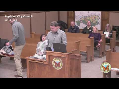
Papillion's City Council on Jan. 21, 2025, approved a set of comprehensive-plan amendments and long-range transportation studies intended to protect future road corridors and coordinate infrastructure as growth moves south and west in Sarpy County.
Resolutions approved included R25-0012 (update to the Sarpy County and Cities Wastewater Agency master plan phases), R25-0013 (the Southeast Sarpy Road Network Plan) and R25-0014 (the Western Sarpy Transportation Enhanced Plan, or WESTEP). All three items passed by unanimous voice votes recorded as 7-0.
Greg (Fellsburg, Holt & Olivig) and Jim Warner (MAPA) presented on behalf of the county and regional partners, and HDR transportation planner Jason Carby walked council through the WESTEP recommendations. Presenters said the studies mapped major future north-south and east-west arterial corridors (including a 60th Street north-south corridor and east-west connections tying into Platte View Road), protected 110- to 150-foot right-of-way corridors for arterials, and recommended side-path trails adjacent to mile-grid arterials to provide separated active-transportation facilities.
Jason Carby outlined an implementation approach that starts with interim 3-lane urban cross-sections for new corridors and reserves right-of-way for eventual four- to six-lane arterials where demand warrants. He said jurisdictions had agreed on a common set of standards for lane widths, pedestrian facilities and future flexibility to accommodate transit and mixed-use nodes.
The studies also included planning-level cost estimates and conceptual plan-and-profile sets and incorporated public outreach, meetings with landowners and discussions with the Nebraska Department of Transportation. MAPA staff said NDOT indicated willingness to consider future full-access intersections at developing arterial crossings if local jurisdictions coordinate with the state.
Council members praised the interjurisdictional coordination, saying the plans help avoid patchwork road networks that prevent cross-jurisdiction travel. Each resolution passed unanimously (7-0).
Ending: The adopted plans set a long-range framework for right-of-way protection and design standards in south- and west-Sarpy County; implementation will depend on developer-built frontage, county contributions and state coordination for major interchanges.