Get Full Government Meeting Transcripts, Videos, & Alerts Forever!
Get email alerts on the Major Subdivision topic
No spam. Unsubscribe anytime.
Planning board accepts Sugar Hill subdivision application for review, pauses on zoning interpretation and asks for per‑lot calculations
Summary
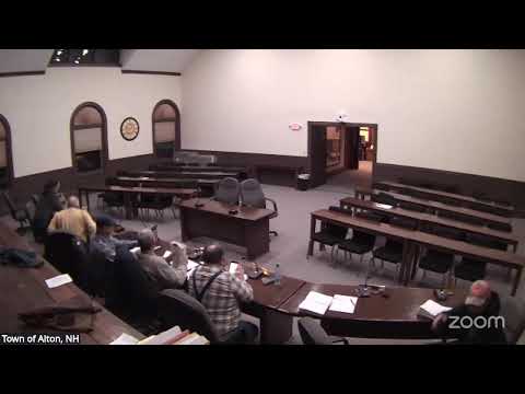
The Alton Town Planning Board on Jan. 21 accepted jurisdiction of the Sugar Hill final major subdivision application but paused to resolve competing interpretations of the town zoning ordinance on contiguous buildable area and frontage measurement.
The Alton Town Planning Board on Jan. 21 accepted jurisdiction of a large subdivision application for the proposed Sugar Hill development (T25‑01) but did not resolve substantive zoning disputes raised by an abutter and an engineer. The board voted to find the application complete and to hear the proposal, while directing further technical and legal follow up on competing interpretations of the zoning ordinance.
The application describes a multi‑lot residential subdivision on roughly 102 acres (as presented). The applicant’s attorney, John Cronin, and engineer described the plan set and asked the board to open jurisdiction so the project timeline could proceed; they said the team would supply drone footage and additional materials. The applicant team said they have reduced lot counts from earlier iterations and would prefer redesign or lot consolidation rather than pursuing variances if any lots are found nonconforming.
An abutter’s engineer, Richard Chellman, submitted a review asserting that several lots do not meet the town’s requirements: he argued that setbacks and wetland buffers are not buildable and therefore some lots fall short of the required contiguous buildable area, and that several lots fail the ordinance’s 200‑foot width of frontage requirement. Chellman recommended the planning board seek town counsel guidance; he said precedent (including court decisions discussed but not cited by case name in the meeting) supports excluding certain non‑buildable areas from contiguous buildable area calculations.
Board members debated whether to accept the application as complete before resolving the zoning interpretation dispute. Some members favored accepting jurisdiction so the board could gather information and make a decision; others urged obtaining a legal opinion first. The board voted to accept the application as complete and to hear the case, and it voted separately to grant two plan waivers (A and B) regarding scale and roadway profiles with the condition that the applicant submit one paper copy at a specified scale to planning staff.
The board directed the applicant’s engineering team (Cindy and staff) to provide a clear per‑lot graphic and a summary table showing, for contested lots, the total lot area, area excluded for jurisdictional wetlands and steep slopes, area within setbacks (if any), and resulting contiguous buildable area — effectively asking the applicant to show the math used to reach its conclusions. The board also directed staff to confirm whether Ty and Bond (the town’s engineering reviewer) will take a position on the zoning interpretation or whether the matter must be taken to town counsel. The board continued the case to Feb. 18 for follow up.
Public commenters and a Selectman speaking as a resident suggested clarifying the zoning ordinance so future applicants and neighbors have clear guidance. Abutter Richard Chellman urged town counsel review; he told the board, “Setbacks are part of your lot size, but they're not a part of your buildable land.” The board did not reach a final determination on the contested zoning points at the Jan. 21 hearing.