Pflugerville council hears draft Mobility Master Plan proposing east-side grid, new collectors and expanded trails
Get AI-powered insights, summaries, and transcripts
Subscribe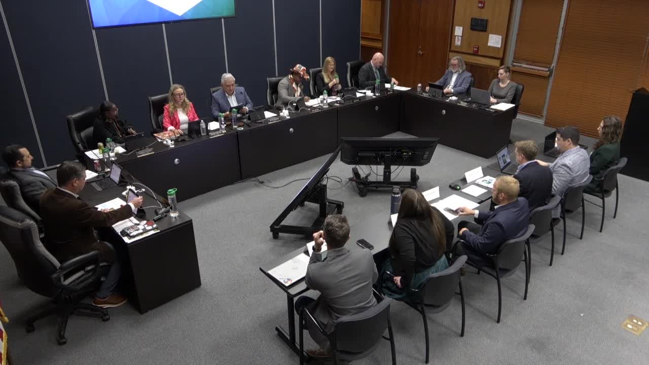
Summary
Consultants presented a draft Pflugerville Forward Mobility Master Plan that would integrate road and trail planning, add an east-side grid and draft cross sections that include 10-foot shared-use paths; staff and council discussed engagement results, right-of-way needs and an early cost estimate.
PFLUGERVILLE, Texas — Consultants leading the draft Pflugerville Forward Mobility Master Plan told the City Council at a Jan. work session that the plan would combine the 2020 transportation master plan and the trails/bike plan into a single mobility document intended to guide 20–40 years of street and trail decisions.
“The mobility master plan strives to create a sustainable network for multiple transportation options that enhance safety, connectivity, and resiliency for community and visitors,” consultant Jeff Whitaker said, reading the advisory committee’s vision statement.
The plan’s stated goals include safety, communication, partnerships, travel options, regional connections and effectiveness. Whitaker and members of the consultant team described public engagement metrics — 4,417 website views and 709 map comments, plus roughly 350 survey responses — and summarized recurring feedback: “Fix the intersections and improve the trails,” Whitaker said. He told councilmembers that respondents had repeatedly raised pedestrian safety, intersection function and roadway improvements as top priorities.
Major elements of the draft plan presented to council include: - An expanded grid on the city’s east side with more major collectors and additional east–west and north–south arterials intended to increase route options and support a 10-minute neighborhood model. - Reclassification of some minor collectors to major collectors on the east side and a simplification of arterials into a single arterial category with a standard right-of-way footprint. - Cross sections that pair 10-foot shared-use paths (off-street) with separate low-speed vehicle/bike lanes; plans call for removing on-street bike lanes in favor of off-street facilities where feasible. - Identification of about 199 new travel lane miles (consultants’ planning estimate) and roughly 54 miles of new trails compared with the prior plan; the draft also notes an additional right-of-way need on the order of several hundred acres.
Whitaker said the plan recommends adding about 10 feet of right-of-way on major collectors (5 feet per side where feasible) to accommodate buffers, bike facilities and landscaping; the proposed arterial cross section would be accommodated in approximately a 120-foot right-of-way. The consultants noted some corridor-specific exceptions — for example, existing corridor or downtown plans would override the default cross section where those studies already exist.
Councilmembers pressed the consultant team for clarifications on engagement and cost. One councilmember asked how many unique users generated the online map comments and likes; Whitaker said the engagement report will include a more detailed breakdown and that website views were measured by unique IP addresses. On cost, the consultant team and council discussed a rule-of-thumb construction cost per lane-mile; using the working estimate of about $2.5 million per lane-mile, the plan’s 199 new lane miles would imply hundreds of millions of dollars in potential roadway construction over time.
Speakers also discussed staging and funding. The consultants said most new roadway construction on the city’s east side would be built as development occurs, but the plan is intended to establish consistent city standards so future development meets the plan’s cross-section expectations. Consultants and councilmembers noted coordination with neighboring jurisdictions and agencies — Round Rock, Hutto, Austin, Travis County, TxDOT and CAMPO — will be required for some connections and right-of-way alignments, particularly where federal classification affects funding eligibility.
On trails, the draft integrates on-street bike facilities and off-street trail planning, classifying trails as spines, loops and arms. The plan shows shared-use paths alongside arterials (10-foot width recommended) and off-street connections through easements and floodplain corridors to tie neighborhoods to commercial centers. Whitaker said the trail inventory was updated to reflect what exists now versus the planned additions and that many of the new trail miles are concentrated east of State Highway 130.
Next steps the consultants outlined: refine the maps and cross sections based on council feedback, return to the advisory committee in January–February for policy and prioritization work, present to the planning and zoning body (PNC) in March, and return to council for formal consideration in April. The consultants said a detailed public engagement report and cost estimates will follow the map-and-cross-section phase.
Council discussion noted trade-offs the plan raises: increased right-of-way and added facilities raise long-term construction and maintenance costs and could affect development economics; at the same time, councilmembers said more connectivity and multimodal options could improve local access and quality of life. Councilmembers asked staff and consultants to supply additional detail on unique engagement participants, granular cost estimates and how the plan’s standards would be implemented through development processes.
The council did not take any formal votes on the plan at the work session; the presentation was for feedback and to set next steps.
The city and consultant team asked councilmembers and the public to submit further written comments as they finalize the draft for advisory-committee review and later hearings.