Get Full Government Meeting Transcripts, Videos, & Alerts Forever!
Get email alerts on the Transportation topic
No spam. Unsubscribe anytime.
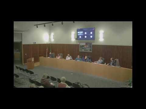
Council sets workshop after debate over May Valley traffic, I‑90 crossings and future-streets map
Summary
Councilors and staff discussed May Valley growth, I‑90 bridge sewer pipe risk, constrained interchanges, and a contested "future streets" map. Council scheduled a focused study session to resolve competing transportation analyses and the scope of the comprehensive-plan transportation element.
City staff and developers debated how to manage traffic and conveyance for major growth in the May Valley urban growth area during the study session.
City transportation and stormwater staff said the city’s traffic studies show a number of intersections and ramps near I‑90, Hanson Road and the west-side frontage roads could reach or exceed capacity as growth continues. The 2019 Perti study modeled multiple intersections and forecasted level-of-service deficiencies at several locations if an off-ramp were closed; staff told council that the state later decided not to close that off‑ramp in the near term, which changes impacts.
Sewer and redundancy concerns
City staff and consultants also emphasized sewer-conveyance constraints out of May Valley. Richard Law noted that “we have a single umbilical cord, if you will, across the I 90 bridge for our all sewer out of May Valley” and said the city will want redundancy or upsizing on that crossing before accepting large volume growth routed to the Sand Dunes treatment plant. Staff discussed alternative force-main routings and the possibility of a new west-side treatment plant for long-term build-out in the valley.
Debate over traffic modeling and new corridors
Developer consultant Dave Dormeyer said his traffic modeling shows different routing assumptions than the city’s earlier analyses and questioned an assumption in one study that 50% of Paradise Point traffic would go west instead of toward I‑90. Dormeyer argued that new local roads and a planned north–south corridor (road 5/drumheller) would change routing patterns and could relieve pressure on Hanson Road. Council members said they wanted to see modeling that reflects potential new connections.
Future-streets map and next steps
Planning staff presented a proposed “future streets” element for the comprehensive-plan update; the planning commission recommended denial of a related transportation-element amendment and asked for more stakeholder review. Council asked staff to hold a workshop to review the map, the transportation-element changes, and the engineering basis for suggested corridors. Council scheduled a focused study session for January 21 at 2:00 p.m. to allow engineers, DOT representatives (as needed), developers and council to resolve technical differences and set the public review sequence.
Ending
Council members said they want to balance predictable roadway planning with realistic funding and sequencing; staff was asked to bring back the traffic model inputs, pump/pipe curves where conveyance is in question, and a clearer project and funding timeline for May Valley corridors and river crossings.