Get Full Government Meeting Transcripts, Videos, & Alerts Forever!
Nantucket work group previews two concepts for Francis Street Beach to address near‑term tidal flooding
Summary
The Washington Street Collaborative Workgroup and project consultants presented two schematic design alternatives for the Francis Street Beach Improvement Project at a virtual open house, seeking public feedback on how to protect Washington Street from increasing tidal flooding while preserving public beach access.
The Washington Street Collaborative Workgroup and project consultants presented two schematic design alternatives for the Francis Street Beach Improvement Project at a virtual open house, seeking public feedback on how to protect Washington Street from increasing tidal flooding while preserving public beach access.
The project team described two main concepts: a curvilinear “dune swoop” that emphasizes native dune planting and concealed flood structure, and an angular boardwalk-driven alternative that recalls Easy Street’s harbor-front geometry. Both concepts include an accessible path from Washington Street to the water, a buried bulkhead set to an elevation of about 8 feet, and a small elevated overlook at elevation 9. The team said the designs are at roughly 30% or schematic design and will inform future permitting and funding work.
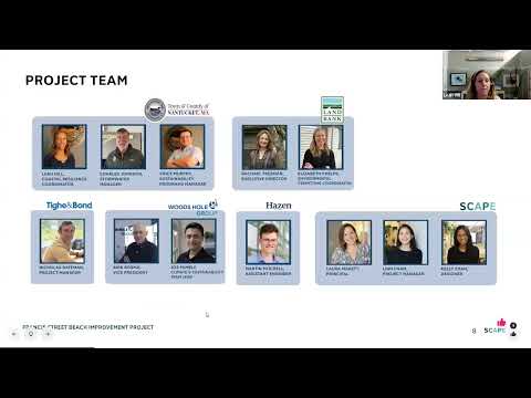
“Over the past five years, a lot has happened in terms of the planning and action related to climate change on Nantucket,” said Rachel Freeman, of the Nantucket Land Bank, summarizing how prior planning has led to this focused site project. Laura (project facilitator) explained the meeting format and live polling tool the team used to collect preferences from attendees.
Why it matters: Washington Street is a key transportation, freight and multimodal corridor for the downtown harbor area. Project materials shown at the meeting used the Massachusetts Coastal Flood Risk Model…
Already have an account? Log in
Subscribe to keep reading
Unlock the rest of this article — and every article on Citizen Portal.
- Unlimited articles
- AI-powered breakdowns of topics, speakers, decisions, and budgets
- Instant alerts when your location has a new meeting
- Follow topics and more locations
- 1,000 AI Insights / month, plus AI Chat