Get Full Government Meeting Transcripts, Videos, & Alerts Forever!
Get email alerts on the Land Use Planning topic
No spam. Unsubscribe anytime.
Commission approves Main Street roadway site plan, adds condition for police parking spaces
Summary
Coconut Creek's commission approved a site plan to build more than three miles of new streets and streetscape work for the Main Street at Coconut Creek development, and amended the approval to require designated police (PD) striped parking spaces to be identified by the applicant in coordination with staff.
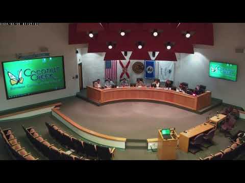
The Coconut Creek City Commission voted unanimously Thursday to approve a roadway site plan for the Main Street at Coconut Creek development and added a condition requiring designated police parking spaces to be identified in coordination with city staff.
Staff and the applicant presented a site plan that would construct more than three miles of new roadway segments and streetscape elements across the Main Street project area, including a new segment of Northwest 40th Street between 54th Avenue and Lyons Road; a new Northwest 48th Avenue; Northwest 54th Terrace; City Market Avenue; and completion of the final Banks Road segment. The plan calls for pedestrian-priority features including 12-foot multi-use pathways, trees at approximately every two parking spaces, on-street EV charging, benches, paver crosswalks and lighting.
Justin Proppitt, the citys sustainable development director, told the commission the plan complies with the adopted Planned Main Street Development District regulations and the citys main street design standards. Applicant representatives said the plan includes traffic-calming measures for Cullum Road, signal coordination and an extensive utility backbone (drainage, water, sewer and reuse) to support future development.
Commissioners debated traffic calming and bicycle protection measures at multiple intersections and asked staff for technical clarifications. The commission added one amendment: the applicant will work with staff to identify and stripe police-designated parking spaces in strategic locations (for example near plazas and intersections) to support public safety needs. The amendment was moved and approved before the final roll-call on the site plan.
Commissioners and staff discussed signal warrants and phasing: the Cullum/40th signal and related intersection work is intended to be constructed concurrently with Phase 1; the Wiles/Banks signal likely requires further build-out to meet warrant thresholds. Staff said the planned speed limit for the Main Street corridors is 25 miles per hour and that multiple traffic-calming features including medians, raised crosswalks, chicanes and on-street parking are included to slow vehicles.
A public hearing was opened and, with no members of the public requesting to speak on the quasi-judicial item, the hearing was closed. The commission approved Resolution 2024-164 as amended by voice and a subsequent roll-call vote returned unanimous approval.