Get Full Government Meeting Transcripts, Videos, & Alerts Forever!
Get email alerts on the Land Use topic
No spam. Unsubscribe anytime.
Council Continues Burnt Store Road District Land‑Use Amendment After Residents, Owners Raise Property‑rights Concerns
Summary
City planners and property owners sparred openly over a proposed future‑land‑use change for roughly 1,141 acres along Burnt Store Road at the Jan. 8 Cape Coral City Council meeting. The council agreed to continue the ordinance’s consideration after multiple owners and residents asked that three inland parcels be excluded or that more detail be provided before transmittal to state agencies.
City planners and property owners sparred openly over a proposed future‑land‑use change for roughly 1,141 acres along Burnt Store Road at the Jan. 8 Cape Coral City Council meeting. The council agreed to continue the ordinance’s consideration after multiple owners and residents asked that three inland parcels be excluded or that more detail be provided before transmittal to state agencies.
What was proposed: The city brought forward Ordinance 78‑24, a city‑initiated amendment converting multiple existing land‑use designations (commercial activity center, commercial professional, mixed use, multifamily, open space and public facilities) to a new Burnt Store Road District future‑land‑use designation over a broad swath in northwest Cape Coral. The change is intended to create a planned commercial/mixed‑use corridor similar to the city’s Pine Island Road district and to encourage nonresidential growth along the principal arterial leading to I‑75.
Property owners and neighbors objected to the scope: Speakers representing large parcels — including the Acorn/Gator Slough tract and two other inland holdings — told the council that the Burnt Store district would strip them of existing entitlements under Commercial Activity Center (CAC) zoning, particularly the ability to build freestanding multifamily units. Acorn Storage Properties (owner representative David Faheymey) said the CAC entitlement (which can allow a mix of retail and stand‑alone multifamily in some settings) is what makes some large mixed‑use projects viable and that switching to the Burnt Store district — which requires vertically integrated mixed‑use buildings — would “kill” the project economics for sites set back a half‑mile from the road.
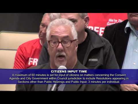
Residents raised fit and transparency concerns: Derek Runyon and other speakers asked that Westchester Estates parcels be excluded from the map because setbacks and unknown future zoning rules could “render my property completely useless.” Environmental and traffic concerns were also raised by a resident from northwest Cape Coral.
Staff background and a prior error: Planning staff and Wyatt Daughtry explained the ordinance’s history. The council previously transmitted a Burnt Store map in 2023 but staff later withdrew that transmittal after discovering the map did not match council direction (a set of parcels was mistakenly excluded). Daughtry said the new 78‑24 package restores the parcels and updates the materials for a fresh transmittal and regional review period. Planning staff noted the Burnt Store district was adopted in principle by Ordinance 12‑22 and that this step would be a transmittal to state and regional reviewing agencies; adoption would follow later.
Council action: After extended public comment and council discussion, members voted to continue the transmittal process to a committee‑of‑the‑whole meeting on Feb. 12 (9:00 a.m.) and to continue the public hearing to the March 5 regular council meeting (5:00 p.m.) so council and staff can review the specific parcels, the resident concerns and proposed boundary refinements. The roll call for the continuation recorded six ayes and one nay.
Why it matters: The Burnt Store Road district is a major land‑use and economic plan for northern Cape Coral. Changes remove the option for stand‑alone multifamily on sites that are deep from the roadway and replace it with a vertically integrated mixed‑use standard; property owners warned that those rules change the marketability and value of deep parcels.
Ending: The council paused the process to allow a focused committee meeting and additional outreach; staff said they will prepare parcel‑level materials and a clear map so council can decide whether to transmit the ordinance with certain parcels excluded or proceed with the full corridor as drafted.