Get Full Government Meeting Transcripts, Videos, & Alerts Forever!
Get email alerts on the Land Use Subdivision topic
No spam. Unsubscribe anytime.
Nampa council approves Ridgeview North subdivision after debate over usable open space and school impacts
Summary
Council approved a 59.76-acre rezone and preliminary plat for Ridgeview North, creating 235 lots and two zoning pods (RS-6 and RD). Council discussion focused on how much of the advertised open space is actually usable, and on implications for nearby schools and irrigation easements.
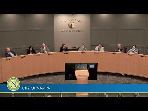
The Nampa City Council on Jan. 7 approved the Ridgeview North rezone and preliminary plat, clearing a 59.76-acre proposal to create 235 residential lots and 49 common lots near the new Valley View School District elementary site.
The proposal from Trilogy Development would rezone 45 acres to RS-6 (single-family) and 14.84 acres to RD (two-family), producing a gross density of 3.93 units per acre and a net density of about 4.96 units per acre. The developer said the plan exceeds the city's 15% qualified open-space requirement and includes pathways, picnic shelters, a half basketball court and a pickleball court in later phases.
Council interest centered on how much of the project’s advertised open space is usable by residents. Staff said the project provides about 10.16 acres of open space overall and 9.71 acres that meet the city’s definition of “qualified open space,” above the 8.96 acres (15%) required by code. Several council members and members of the public noted that sizable portions of the site’s open acreage are irrigation easements or drainage corridors (labeled in materials as separate from “qualified” open space) and therefore less usable for recreation.
‘‘There’s a difference between open space on a rendering and qualified open space that people can actually use,’’ said Councilman Bills during the discussion, urging clarity about what residents will get. City planning staff and the applicant walked the council through landscape and phasing plans showing the amenities the developer intends to deliver in each phase; the developer emphasized that multiple interior parks, walking paths and recreation nodes will be available early in construction and that the larger canal-edge areas will be maintained and offer pathways where permitted by the irrigation districts.
City planners said required frontage and pathway construction will be part of the first phases, and that the applicant’s plans call for a 12-foot asphalt multiuse path along the canal/common-lot corridors where feasible. Public-works staff advised that the canal corridors are under the jurisdiction of Pioneer Irrigation District or the Bureau of Reclamation, and that some pathway segments will require additional permitting or future grant funding.
Council members also pressed the developer on school and public-safety impacts. The Valley View School District provided figures showing current enrollment levels at nearby schools (for example, Ridgeview High School averaging about 1,600 students with capacity near 1,800), and police and fire reviewed projected service impacts and impact-fee contributions. Staff told the council the subdivision would add an estimated 658 residents and that the police department’s projected staffing impact is reflected in the department’s impact-fee calculation.
After public comment and a lengthy council discussion, the council took a roll-call vote that produced a split among members. The roll call as recorded in the meeting minutes showed six council votes divided; the outcome was recorded as approved. Council members voting in favor included Councilman Griffin, Councilman Haverfield and Councilman Rodriguez; Councilmen Jangula, Bills and Reynolds were recorded as opposing the motion. The mayor declared the motion carried following the roll call.
The developer (NV5/Trilogy Development) and planning staff said they will continue to refine landscaping and amenity details during final plat and engineering review to ensure open-space usability and irrigation-district requirements are addressed.