Get Full Government Meeting Transcripts, Videos, & Alerts Forever!
Get email alerts on the Land Use And Environment topic
No spam. Unsubscribe anytime.
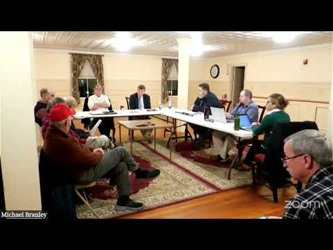
Planning board presents wetlands conservation amendments proposing 75-foot upland buffer and setbacks
Summary
The Swansea planning board reviewed proposed amendments to the Wetlands Conservation District that would add a 75-foot naturally vegetated upland buffer and restrict certain activities within that buffer.
The Swansea planning board reviewed a package of proposed amendments to the town’s Wetlands Conservation District that would add a 75-foot upland buffer and strengthen development setbacks and allowed uses near wetlands.
Sherry, a planning board member presenting the amendments, said the changes were prompted by a townwide wetlands evaluation conducted for the conservation commission by Moosewood Ecological. "Most of our wetlands’ functions are compromised due to the loss of a naturally vegetated buffer," she said, and the amendments aim to restore that protective upland zone.
Key changes described by Sherry include: establishing a 75-foot naturally vegetated upland buffer as a development setback; allowing certain low-impact uses inside the buffer such as footpaths, wildlife habitat management, small farm ponds permitted by the Department of Environmental Services (DES), and maintenance of existing lawfully located structures; and prohibiting construction of new leach fields or septic components, parking areas, dumping, underground fuel storage and lawns with regular mowing or pesticide/herbicide use inside the buffer. The draft also limits new buildings within 75 feet to structures no larger than 100 square feet and permits agricultural uses consistent with best-management practices.
On septic setbacks, the draft would reduce the town’s current 125-foot septic setback to the state standard of 75 feet for new systems, while still requiring exceptions or variances in cases of failure or demonstrated need. Sherry framed the change as a compromise to align the town with evolving septic technology where appropriate.
Planning staff member Adam told the board the town maintains a GIS wetland overlay layer supplied by the state and that maps exist to show affected parcels. Several board members and residents pressed for clear mapping and direct notice to property owners whose parcels might be affected; one board member said residents should be able to look up parcel-level impacts before a final vote.
Residents and board members discussed property-rights concerns, the tax effect of designating wetland buffers, and the administrative burden of enforcement. Sherry and staff noted that wetlands and buffer acreage are already assessed at lower rates and that sections of the shoreland protection district covering major lakes and rivers were intentionally excluded from this amendment to avoid overlapping rules.
The planning board set a public hearing for Jan. 9 and said the formal ordinance language as noticed at the hearing must remain unchanged unless the board calls a second hearing. Board members also encouraged additional outreach and cross-committee coordination — including updating the town’s open-space plan — before finalizing a warrant article.
What’s next: The planning board and conservation commission will continue outreach; the Jan. 9 public hearing will be the formal venue to receive public comment and to vote whether to recommend the amendment for the warrant.