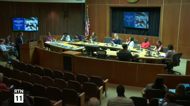
Downtown mobility and Active Mobility Plan map modal priorities and set a 'Big Jump' target for sidewalks and bikeways
Get AI-powered insights, summaries, and transcripts
Subscribe
Summary
Transportation staff and consultants presented a coordinated Downtown Mobility Study and an Active Mobility Plan that prioritize modal uses for downtown corridors, align with upcoming BRT projects and Vision Zero work, and propose a "Big Jump": more than 5 miles of sidewalks and 50 miles of bikeways in five years.
Margaret Tartala, mobility strategy supervisor in the Department of Transportation, introduced two coordinated planning products — the Downtown Mobility Study and the Active Mobility Plan — that staff and consultants said are intended to set modal priorities for downtown corridors and provide a citywide map and implementation toolbox for sidewalks and bikeways.
Tartala said the studies were developed over roughly 18 months with stakeholder and public engagement and that outcomes will guide project development as Raleigh adds rapid-transit capacity. "There is a lot of need all across the city, but there's also a lot of opportunity," Tartala said.
Why it matters: Staff said the two plans will guide trade-offs on constrained downtown streets — where curb space, bike lanes, sidewalks and transit stops compete for limited public right-of-way — as the city's first major bus-rapid-transit (BRT) corridors are implemented. The plans are also intended to align with the city's safety-action (Vision Zero) work and the comprehensive-plan update.
Key findings and targets presented: - Public engagement: more than 2,200 participants contributed roughly 15,000 datapoints used to inform modal priorities and corridor design choices. - Existing network: staff listed about 120 miles of greenway, 35 miles of side path (shared-use path adjacent to roadways), 75 miles of bike lanes and roughly 3 miles of separated/protected bike lanes. Sidewalk coverage: 31% of roadways have sidewalks on both sides; 43% have no sidewalks on either side. - High-crash corridors for pedestrians and bicyclists include Capital Boulevard, New Bern Avenue, Wilmington Street and South Saunders Street; staff noted these are largely state‑maintained (NCDOT) roadways and said the Vision Zero/safety-action plan will address larger-scale safety strategies. - "Big Jump" implementation target: more than 5 miles of new sidewalks and 50+ miles of bikeways in five years, achieved through a combination of capital projects, resurfacing and maintenance work, quick-build demonstrations, private-development requirements and micro-gap sidewalk programs.
Design approach and priorities: The Downtown Mobility Study assigns a modal priority to each downtown corridor (pedestrian, bicycle, transit, vehicle) to guide future projects, provides six "envisioning success" cross-section concepts, and calls for curb‑use prioritization and improved interdepartmental project delivery. Stansberry of Kimley Horn summarized the study's intent as providing corridor-level guidance so future projects can be developed without repeated, ad-hoc conflict resolution.
The Active Mobility Plan, led by consultant Jared Draper of Tool Design, set a vision: "Create a connected, equitable, and accessible network," he said, and proposed prioritized networks (comprehensive and near‑term) and equity- and school-focused prioritization criteria. Draper and staff said priority networks and scoring can be broken down by council district to inform localized project lists.
Council questions focused on coordination and implementation: Councilors asked how the plans align with regional rail (the "S-line") and with NCDOT-owned corridors; staff said they are in ongoing coordination with rail and state transportation officials and that future plan guidance may be amended where routes or state interests shift. Staff also said they are compiling five‑year linear-foot cost estimates for the Big Jump so the council can budget appropriately.
Discussion v. action: The presentation was informational; there were no formal votes. Staff described policy and program recommendations to enable faster delivery of projects and asked for continued council support toward implementation funding and interdepartmental coordination.
Ending: Staff said the plans are intended to be implementation-ready and that many projects could be built incrementally by leveraging resurfacing, CIP programming, development review and micro-gap sidewalk work while pursuing larger capital investments.
