Get Full Government Meeting Transcripts, Videos, & Alerts Forever!
Get email alerts on the Residential Development topic
No spam. Unsubscribe anytime.
Council approves residential plan for 1835 Shady Oaks with larger buffers; fencing, tree retention to be finalized
Summary
Council voted to change the land‑use designation and approve a concept plan to redevelop 1835 Shady Oaks from office commercial to medium‑density single‑family lots; council approved a 33% tree‑retention target and asked the applicant to return with alternative fencing options.
Southlake City Council on Oct. 7 approved a future land‑use amendment and a concept plan to convert 1835 Shady Oaks from office/commercial to a single‑family residential subdivision (SF‑20 zoning). The land‑use amendment passed unanimously (7‑0) and the zoning/concept plan passed first reading 5‑2.
The proposal calls for roughly 27 single‑family lots (SF‑20) with a substantial landscaped buffer along State Highway 114. The applicant, represented by Curtis Young of the Sage Group, revised earlier, denser concepts after public feedback; the current concept adds a larger (approximately 50‑foot) landscaped buffer between the highway and home sites and reduces total lot count compared with an earlier PUD option.
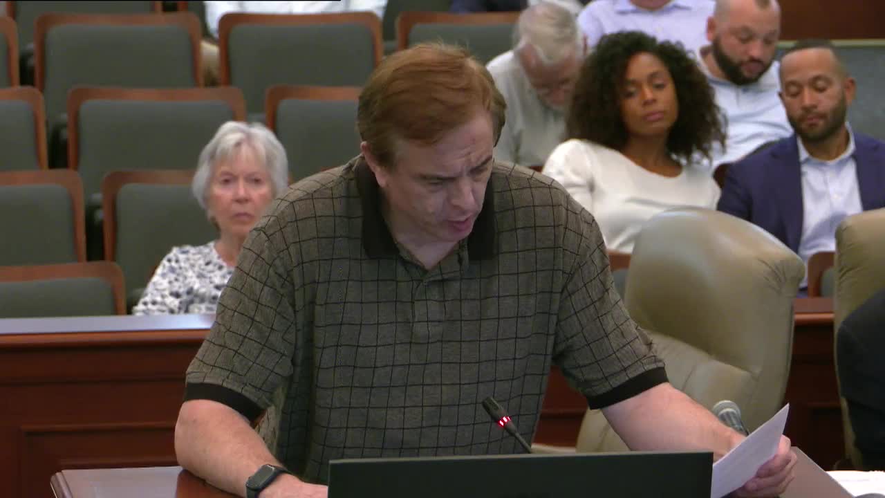
Council and public comments Nearby residents raised storm‑water concerns, telling council that culverts beneath the frontage road have flooded in the past and asking who would be responsible if downstream infrastructure is overwhelmed. A resident, Esther Spickler (1950 Shady Oaks Drive), noted repeated culvert/bridge repair at nearby crossings and asked that drainage be carefully verified. Staff and the developer said the site’s drainage is designed to detain post‑development flows at or below existing pre‑development rates; the engineer explained the 10% rule used in detention design (reviewing downstream capacity until the project contributes 10% or less of the drainage area) and said the project detains flows on site.
Fencing, tree preservation and lot sizes The concept plan proposes a perimeter fence and a private, gated resident access from the frontage road for resident‑only travel and emergency vehicles. Several council members questioned whether a continuous masonry wall is necessary or whether an iron fence or other option would better preserve trees and visual quality; masonry footings can damage roots and reduce effective tree preservation if not carefully designed. Council asked the applicant to return with alternative fence options at second reading; motions on the concept plan included a requirement for 33% tree retention (the developer’s submission met the city’s conservation standard and the motion increased the retention requirement to 33%).
Setbacks and special design points Council approved a variation for a slightly smaller corner‑lot side setback adjacent to streets (minimum 15 ft on corner sides, except Lot 3 which will require 25 ft), and the council approved a 110‑ft diameter street right‑of‑way for the proposed cul‑de‑sac with a 5‑ft pedestrian/utility easement around the circle (functionally providing similar access to a standard 120‑ft diameter right‑of‑way). The applicant also committed to provide a finished wall/landscape rendering prior to final approvals.
Votes and next steps - CP25‑0003 / Ordinance 1269‑F (future land use change to medium density residential): approved 7‑0 (first reading). - ZA25‑0057 / Ordinance 480‑839 (SF‑20 zoning and concept plan): approved on first reading 5‑2. Applicant will return with final fencing alternatives, and staff will verify drainage calculations and the tree‑preservation plan before the final reading and final plat.
Why it matters The decision converts a long‑undisturbed parcel beside SH‑114 into a low‑to‑medium density residential subdivision with a substantial landscape buffer intended to protect the highway edge and address neighborhood concerns about privacy, noise and drainage.