Get Full Government Meeting Transcripts, Videos, & Alerts Forever!
Council adopts updated 2025 zoning map to align with comprehensive plan, including several residential reclassifications
Summary
Newcastle’s City Council adopted an ordinance updating the city’s zoning map to align with the recently adopted comprehensive plan. Changes include reclassifying several residential neighborhoods and designations affecting the Porter Jensen site and city open-space parcels.
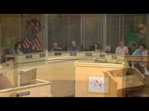
The Newcastle City Council voted unanimously on Oct. 7 to adopt Ordinance 2025-673 approving the city’s updated 2025 zoning map to match the March 2025 comprehensive plan.
The ordinance passed 7-0 after staff presented targeted rezones intended to correct split or inconsistent zoning in several recently built or existing neighborhoods and to clarify open-space classifications for city-owned land.
Director Fitzgibbons said the proposed map makes several changes intended to create parity among similar neighborhoods. She described converting some parcels in the Highlands neighborhood from R-1 (very low density) to R-4 to match surrounding lot sizes and allow typical additions such as…
Already have an account? Log in
Subscribe to keep reading
Unlock the rest of this article — and every article on Citizen Portal.
- Unlimited articles
- AI-powered breakdowns of topics, speakers, decisions, and budgets
- Instant alerts when your location has a new meeting
- Follow topics and more locations
- 1,000 AI Insights / month, plus AI Chat