Council adopts updated Tooele Business Park zoning map covering about 285 acres
Get AI-powered insights, summaries, and transcripts
Subscribe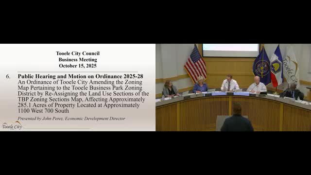
Summary
The council approved Ordinance 2025-28 to reassign land-use designations in the Tooele Business Park zoning district, updating parcel boundaries and considering future infrastructure such as the Mid Valley Highway.
The Tooele City Council on Oct. 15 adopted Ordinance 2025-28, updating the Tooele Business Park (TBP) zoning map and reassigning land-use sections across approximately 285.1 acres near 1100 West and 700 South.
Jon Perez, Tooele’s economic development director, told the council the ordinance does not change underlying zoning regulations but redraws the map to reflect current parcel ownership, infrastructure needs and the removal of a rail spur. Perez said the new map separates retail/office, light industrial and heavy industrial areas and incorporates engineering input about grades and utility needs.
Perez said the map also considers a potential future Mid Valley Highway alignment and noted the city has a right-of-way easement through the depot property that constrains the south end alignment. The mapping work was recommended by the planning commission on Sept. 24.
Council members asked questions about planned road ROW widths shown on a concept plan and how the proposed alignments compare to UDOT plans; Perez said future environmental studies and coordination with UDOT will refine final alignments. The public hearing had no speakers. Councilwoman Gochis moved to approve the ordinance; Councilwoman Manzione seconded. The council voted 5-0 in favor.