Get Full Government Meeting Transcripts, Videos, & Alerts Forever!
Get email alerts on the Parcel Imagery Gis topic
No spam. Unsubscribe anytime.
Grant County approves six-year EagleView aerial imagery contract after debate on cost and public contact
Summary
The board approved a six-year master service agreement with EagleView for countywide aerial imagery and GIS services, budgeted at $203,346.55 per year. Supporters said the service will modernize appraisal and GIS work; some commissioners voiced concern about cost and reduced in‑person contact with residents.
Grant County commissioners voted Oct. 9 to approve a six-year master service agreement with EagleView to provide updated aerial imagery for the assessor’s office, GIS and other county departments. The contract is budgeted at $203,346.55 per year.
County staff and the assessor said the service will supply up-to-date, measurable aerial imagery to support valuations, reduce some field time and help other county units such as emergency management, planning and road departments. The assessor’s office emphasized the tool would “help us to be fair and equitable” and reduce travel time and vehicle wear for field staff.
Commissioners asked for performance reporting and measures of success during the pilot period. Commissioner Stevens, who moved to approve the contract, asked that staff provide periodic reports showing how the imagery affects valuation maintenance and net new value; the assessor’s office said those metrics would be visible in the following year’s certification and could be summarized by June.
Several commissioners supported the contract’s operational benefits but raised concerns about cost and a potential loss of in-person contact with property owners. One commissioner said the county must avoid substituting remote review entirely for field visits, noting past safety concerns for appraisers and the value of community engagement.
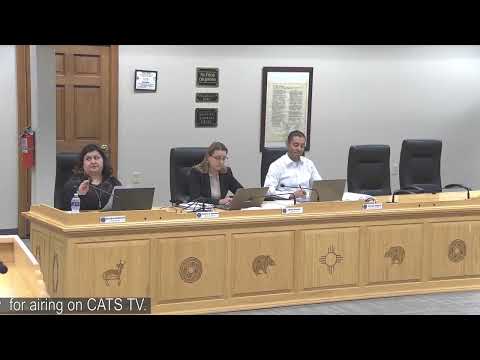
The board motion to approve was made by Commissioner Stevens and seconded by Commissioner Shali. The motion carried with the board voting in favor; a roll-call tally was not read into the record.
Clarifying details noted during discussion: the annual price in the approved master agreement was described as an upgraded, countywide coverage package compared with an earlier, smaller pilot estimate of about $100,000. Staff said the selected coverage emphasized populated areas first and that additional areas could be added later if needed.