Charleston County staff presents 10 Mile community overlay; planning commission recommended approval, residents offer mixed views
Loading...
Summary
Staff presented a draft 10 Mile community overlay zoning district that would apply new density, dimensional and use standards across urban-suburban and rural portions of the historic 10 Mile community; Planning Commission recommended approval 9–0, staff recommended approval; the council heard multiple public comments both supporting and opposing.
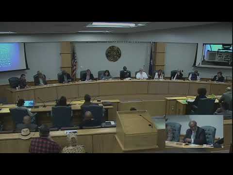
Charleston County staff presented a draft 10 Mile community overlay zoning district at a public hearing Tuesday that would formally add the overlay map to the county comprehensive plan and change detailed zoning and development rules for the community.
The draft overlay would divide the 10 Mile area into an urban-suburban zone (3 dwelling units per acre), a rural zone (1 dwelling unit per acre) and a commercial designation (2 units per acre for mixed-use). Staff said the draft reflects compromises reached in a multi-year community process and recommended approval; the Planning Commission voted 9–0 in September to recommend approval.
Staff said the overlay implements recommendations in the county comprehensive plan and follows work begun after a June 2022 zoning action and a 24-month moratorium on certain subdivisions. The draft includes use limits (including a list of prohibited uses), updated density and dimensional tables, a 1:1.25 width-to-depth ratio for single-family homes, building coverage and impervious surface caps, a maximum 35-foot height limit and special stormwater protections. The rural area provisions would increase density on some parcels currently zoned RR from one unit per three acres to one unit per acre.
Supporters from the 10 Mile community told council they backed the overlay as a way to protect historic character and manage growth. Edward Pinkney, representing residents of the 10 Mile community, said, “Our community strongly supports the adoption of the 10 mile overlay. We believe this measure is essential to preserving the character, history, and lineage of our community while providing a clear framework for responsible growth.” He said the community gathered more than 200 signatures requesting one additional amendment be included before adoption.
Other public commenters raised specific technical concerns. James Black asked the council to reconsider mandatory pedestrian requirements for three-or-more-lot developments and argued that the proposed 1:1.25 width-to-depth ratio could be “overly limiting, especially for owners with narrow lots.” Kyle Taylor, who described himself as generally supportive, urged caution that overlays be crafted to avoid unintended barriers to investment.
Council members questioned trade-offs in the draft. Councilman Kurowski and others noted the change to rural densities as the most significant substantive shift, with Kurowski calling it “a really dramatic increase” from RR’s current one unit per three acres. Staff reiterated that the rural density change reflected an expressed preference of a majority of residents who participated in the outreach process.
Staff noted other inputs supporting the overlay, including the Mount Pleasant settlement community task force recommendations and cultural-resources work that identified the 10 Mile community’s historical significance. The draft also clarifies which Zoning & Land Development Regulations (ZLDR) standards apply to planned developments, commercial parcels, accessory dwelling units and special events.
No council vote on the overlay occurred at the meeting; staff and the public provided testimony and questions were raised by council members. Council members and staff said additional technical edits and an area character appraisal would continue to be part of the process.
The council will consider the overlay again in a future meeting after additional refinements and required formal readings.