Lifetime Citizen Portal Access — AI Briefings, Alerts & Unlimited Follows
St. Mary's County transit app gets usability fixes, live-tracking clarifications; November update planned
Loading...
Summary
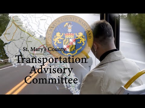
At its final quarterly 2025 meeting, the Transportation Advisory Committee reviewed user feedback on the county's new STS transit app and heard staff say version 2 — including direction arrows, route-filtering and links to full schedules — is planned for release in November.
The Transportation Advisory Committee of St. Mary's County on Tuesday reviewed user comments and planned upgrades to the county's new STS transit app, and staff said a second release is scheduled for November that will add clearer direction indicators, links to full route schedules and notification features.
Committee chair said the app rollout has produced useful feedback and that staff will pursue several changes with the county IT department. The chair said the app shows county routes on a map with flags at official stops, and users suggested a legend, clearer north/south differentiation and a way to filter overlapping routes.
Allison Swint, a staff member responsible for STS technology and operations, told the committee the system already uses GPS locators and a GIS mapping feed for bus positions but that the stop times currently shown in the app come from the posted schedule rather than from live GPS-derived ETAs. "Currently, the system is designed using our GPS locators on the buses, and it's fed into the GIS mapping system," Swint said. "But the scheduled times are based on what is the fixed route schedule, not what the bus location is." She said staff will ask IT about linking scheduled stop displays to real-time vehicle positions, while acknowledging constraints caused by traffic and incidents.
Swint summarized several features planned for the November release: an arrow icon showing the bus direction (to make north/south clearer), route-filtering so users can isolate a single route that is layered under others on the map, a link from each stop to the full route schedule on the county website, and push notifications to alert riders to cancellations or major delays. She said paratransit tracking and manifest information will require separate consideration because paratransit trips change frequently and may need a distinct development effort.
Committee members raised accessibility and clarity concerns. Leon Carrington, a committee member with experience in digital mapping, recommended a legend and a clear description for each color and abbreviation used in the interface so users — especially older riders — can understand layered routes and how to select or remove a layer.
The committee also discussed operational details the app must reflect: how the app displays out-of-service buses, the treatment of flag stops versus fixed stops, and the plan to add a "where's my bus" quick-access button and the ability to save favorite routes. Swint said the app's feedback feature in the Play Store/App Store sends comments directly to IT and urged users to report issues there to help prioritize fixes.
The committee praised the in-house development and asked staff to report back on download metrics and the volume of user feedback. Swint said she would collect and share those numbers with the committee.
The app discussion concluded with members thanking IT staff for deploying the in-house solution and reiterating the request that the next release emphasize direction arrows, clearer stop information and accessible legends.