Get Full Government Meeting Transcripts, Videos, & Alerts Forever!
Get email alerts on the Roads And Infrastructure topic
No spam. Unsubscribe anytime.
Road and Bridge summarizes FY2025 work: overlays, culverts, emergency response and new GIS tools
Summary
Road and Bridge presented a year-end report listing full completion of an overlay program, multiple reconstructions, about 1,700 citizen service requests handled, culvert preservation projects, and rollout of a modern GIS with an open-data web hub and 2,000+ new addresses issued so far in 2025.
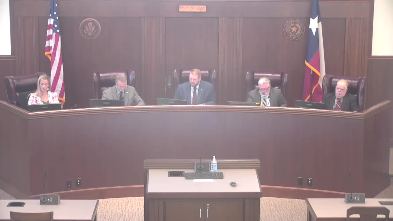
Guadalupe County's Road and Bridge Department reported FY2025 accomplishments to the commissioners court on Sept. 30, saying crews completed a county overlay program, handled emergency repairs, and advanced a new county GIS platform for public mapping and address services.
Road and Bridge Director Doug Burnside told the court the department completed its planned overlay program this year and moved one particularly damaged road into a full reconstruction phase. Burnside said work included clearing and repairing culverts, replacing a bridge on Walnut while school was out of session, erosion stabilization projects following July storms, and targeted asphalt rejuvenation on roads including Huber and Barbarossa.
The department also logged roughly 1,700 citizen service requests this fiscal year (requests include downed trees, potholes, drainage and mailbox/driveway issues). Burnside described equipment-maintenance challenges, heat-related worker safety steps and increasing permitting demand tied to development: nearly 200 driveway permits and several excavation permits required review during the year.
GIS and addressing Braden (GIS) reported the county's GIS office has stood up a new system and replicated address data to the regional voter/parcel service with zero downtime. He said the county had issued more than 2,000 new addresses from October through August and had prepared a public-facing GIS open-data site to host interactive maps, PDFs and downloadable infographics that incorporate American Community Survey data.
Why it matters: County officials said the year's work preserves road investments and reduces future repair costs, and that the GIS improvements will make permitting, address verification and public notification easier for residents and developers.
Commissioners' remarks and next steps Commissioners praised crews' work and asked staff to continue feasibility studies and project prioritization for reconstruction needs (Old Seguin Luling, Old Layman and others were discussed). Burnside asked citizens to call the department for brush or urgent roadway hazards; commissioners asked staff to continue to refine the permitting and inspection workflow and to return with cost estimates where larger reconstructs or drainage design work is needed.
Ending note Road and Bridge also described industry training initiatives, pipe-refurbishment work that saved time and cost versus full replacements, and initial slabs poured for equipment shelters at three of four maintenance areas. Staff asked the public and departments to test the new GIS site and provide feedback before broader public launch.