Get Full Government Meeting Transcripts, Videos, & Alerts Forever!
Get email alerts on the Land Use Planning topic
No spam. Unsubscribe anytime.
Lancaster planners weigh expanded land-use map, EPA wastewater assistance; action limited to approving minutes
Summary
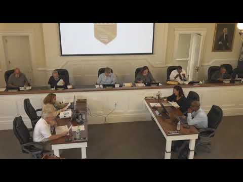
Lancaster County Planning Commission members discussed updating the county’s comprehensive-plan land-use maps and described technical help from an EPA program aimed at addressing failing septic systems, but took no major policy votes other than approving last month’s minutes.
Lancaster County Planning Commission members discussed updating the county’s comprehensive-plan land-use maps and described technical help from an EPA program aimed at addressing failing septic systems, but took no major policy votes other than approving last month’s minutes.
Commissioners spent the bulk of the meeting reviewing examples of land-use maps from other localities and considering what additional categories and map “layers” Lancaster might show — including conservation areas, working waterfronts, public and semi-public sites (such as schools), parks, water-access points, EMS and fire facilities, and locations suitable for utility-scale solar. Staff described an ongoing collaboration with the U.S. Environmental Protection Agency’s “Closing America’s Wastewater Access Gap Initiative,” which is providing no-cost technical assistance and support applying for grant funds to address failing septic systems and plan future wastewater infrastructure.
The discussion matters because updated illustrative mapping and wastewater planning can affect grant eligibility and the county’s ability to target infrastructure investment. Planning staff said clearer mapping of planned-growth and secondary-growth areas, overlays such as the waterfront protection zone, and an inventory of “ready-to-develop” parcels would help when applying for state and federal grants that require projects be shown in the comprehensive plan.
Planning staff member Andrea Hall told commissioners the packet included a preliminary outline and several example maps. “I personally like the Richmond County one,” Hall said, calling that example easier to read because it groups higher-order categories with subcategories and associated maps. Staff asked the commission to consider which categories it wants shown and which existing county assets should be shown as map attributes.
Commissioners and staff discussed using Lancaster’s existing GIS as the base and adding new layers rather than replacing current maps. Glenn (GIS staff) said the new layers would be “added to the existing GIS” and would be available for the public to turn on or off. Hall said the county plans to obtain an additional GIS license and try to do most of the mapping work in-house, though the planning budget could fund outside technical help if a task proved complex.
Commissioners identified specific areas for further study. Staff said a triangular area between the primary growth area, Irvington and Weems — and a county-owned “Good Luck” parcel north on Route 3 above Kilmarnock — are candidates to consider as secondary-growth areas because they could be relatively straightforward to extend utilities to. Hall also said the county maintains a spreadsheet of properties that are “ready to develop” and that staff hope to make that information available online.
On the waterfront overlay, a commissioner asked whether the previously discussed reduction of the waterfront-interface setback had been adopted. Staff replied that the 800-foot figure remains in the document but that language referencing tributary streams had been removed from the waterfront-interface title. “So it’s still 800, but what we removed was the tributary streams portion of that,” a staff member said.
On wastewater planning, Hall said the EPA initiative had already assisted Lancaster County with technical expertise and grant-seeking for community septic infrastructure and that the program is helping with mapping existing infrastructure and planning for future growth areas. She said the EPA contractor is conducting a study that staff expect will point to areas where utilities could be extended.
Under other business, staff summarized legislative changes from the 2025 Virginia General Assembly and veto session. Staff member Ms. Pruitt prepared a synopsis of seven notable changes and the corresponding state-code citations; she told the commission that only House Bill 2660 appeared likely to require a revision to the county code. Pruitt said a state work group will convene on Nov. 1, 2025, to present recommendations. “Staff will review these recommendations and resend them to the planning commission with any required changes at the January 2026 planning commission meeting,” she said.
Separately, staff reported that the Virginia Department of Environmental Quality completed an additional public comment period on changes to the Chesapeake Bay preservation ordinance; DEQ is compiling comments and staff will work with the county’s Bay Act liaison and DEQ before presenting revisions to the commission. Staff said the commission may need to hold a public hearing on those changes at a later meeting depending on the liaison’s feedback.
The commission also discussed a pending proposed amendment to the county’s solar ordinance. Staff reported they had sought the county attorney’s opinion on whether the county could require a special exception for all ground-mounted solar. A commission member stated that “we can’t do the special exemption,” and staff confirmed that was correct; staff said if a special-exception requirement is not allowable, the commission could proceed to vote on the ordinance language after the already-held public hearing, otherwise staff would prepare new language and a new hearing would be required.
The Board of Supervisors has referred proposed heliport ordinance language to the commission for later consideration; staff said they will add that item to a future docket. Staff also noted they expect to receive forestry and agricultural mapping data from the Virginia Department of Forestry to incorporate as appropriate.
Votes at a glance • Motion to accept the August Planning Commission meeting minutes — Approved (voice vote; ayes recorded). No other formal votes were recorded at this meeting.
Ending Commissioners agreed to continue digging into map categories and overlays and to return with additional examples and draft mapping layers at future meetings. Staff said they will report back in January 2026 after the state work group’s recommendations on House Bill 2660 and will bring proposed changes to the Chesapeake Bay preservation ordinance and the solar-ordinance language as information becomes available.