Get Full Government Meeting Transcripts, Videos, & Alerts Forever!
Sustainability board urges public maps, outreach on sea-level rise; staff reports grant reapplications
Summary
At its Sept. 24 meeting, the Satellite Beach Sustainability Board heard a lengthy presentation on sea-level rise projections and asked staff to develop public-facing maps and materials; staff also reported a reapplication to an FDEP grant and other parks work. The board approved minutes by voice vote.
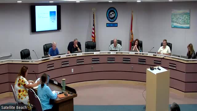
The Satellite Beach Sustainability Board on Sept. 24 pressed staff to prepare public maps and outreach explaining projected sea-level rise over coming decades and to pursue a small public-display campaign while staff refines implementation options.
Board member John Burgess, who led a technical presentation, told the board “despite what the federal government says, there is sea level rise” and showed local maps tied to U.S. Army Corps of Engineers projections that illustrate areas expected to be seasonally or permanently impacted in 2040, 2070 and beyond. He proposed printing a small set of large maps for lobbies and community venues, adding QR codes linking to supporting data, and forming an ad hoc group to review policy steps.
The presentation framed the problem as a planning challenge: the maps Burgess displayed show seasonal high-water periods that already inundate parts of public land for roughly two weeks a year and project larger extents of inundation by 2070 and 2100. Burgess asked the board to work with staff to refine maps for public display and to return to the board with a scope and cost. Staff agreed to collaborate before taking anything to city council.
Why it matter…
Already have an account? Log in
Subscribe to keep reading
Unlock the rest of this article — and every article on Citizen Portal.
- Unlimited articles
- AI-powered breakdowns of topics, speakers, decisions, and budgets
- Instant alerts when your location has a new meeting
- Follow topics and more locations
- 1,000 AI Insights / month, plus AI Chat