Get Full Government Meeting Transcripts, Videos, & Alerts Forever!
Get email alerts on the Land Use topic
No spam. Unsubscribe anytime.
Planning staff propose revised land‑use map, add ‘natural’ and ‘productive agricultural’ categories
Summary
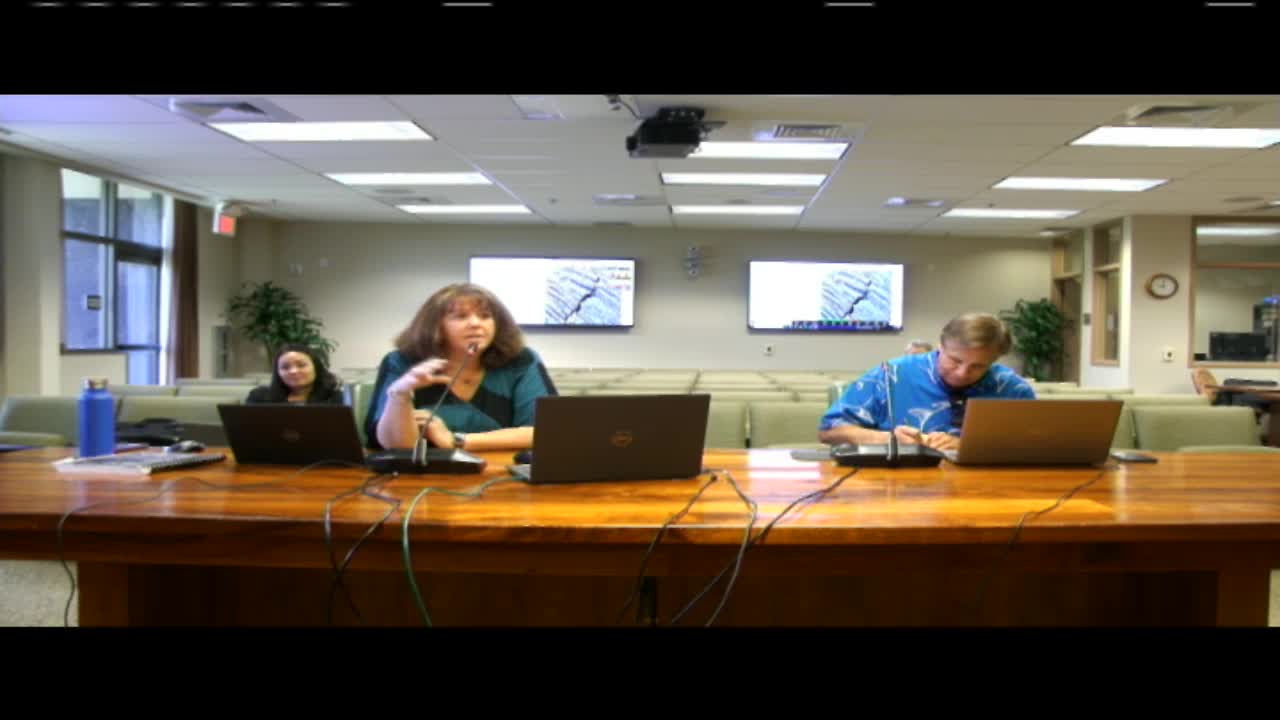
HILO/KONA — Planning Department staff presented the draft land‑use section of Hawaii County’s 2045 General Plan to a special Council committee on Sept. 23, 2025, proposing new map categories, revised urban‑center standards and mapping intended to focus future growth within designated centers.
HILO/KONA — Planning Department staff presented the draft land‑use section of Hawaii County’s 2045 General Plan to a special Council committee on Sept. 23, 2025, proposing new map categories, revised urban‑center standards and mapping intended to focus future growth within designated centers.
Bethany Morrison, Planning Program Manager for the long‑range division of the Hawaii County Planning Department, said the draft reorganizes the chapter that contains “the meat of the plan” — land use, transportation, utilities, public facilities, housing and integrated systems — and adds new, clearer categories such as “productive agricultural” and “natural.”
Morrison told the committee the general plan map is a broad, flexible guide to future decisions, not an automatic change to existing zoning or subdivisions. “This general plan land use is something that has always been part of our general plans, and it’s meant to guide future decision‑making,” Morrison said, adding that landowners must initiate any zoning change.
Planners proposed several substantive changes: - New categories to reduce confusion: “productive agricultural” (to distinguish county mapping from the state’s Important Agricultural Lands), and a “natural” designation to identify largely passive lands such as mauka forests, historic lava flows, steep slopes and other areas where active production is limited. - A clearer set of urban center standards (transit‑oriented development, traditional neighborhood development, industrial centers and resort areas) and tables of compatible zoning intended to guide rezonings. - A split of the single “industrial” category into “light service industrial” and “heavy industrial” to mark where noxious or large‑scale operations should be directed away from residential areas. - A narrowing of broad “urban expansion” areas shown in the 2005 plan into more specific low‑ or medium‑density urban designations or retained rural/agricultural uses, guided by community development plans (CDPs), infrastructure access and state land‑use districts.
Why the changes matter Morrison and Director Jeff Darrow said the mapping decisions relied on multiple data sources — the county’s CDPs, master plans (such as Palamanui), state land‑use districts, past general plans and infrastructure availability — and were informed by updated trend analyses using the 2020 Census. Morrison noted the county is still largely rural: “60% of our population lives in rural areas,” she said, and planners used that context in proposing rural centers that could provide neighborhood‑serving commercial uses without wholesale conversion of agricultural land.
Planners highlighted housing and affordability data as drivers: Morrison cited that a substantial share of renter households and owner households pay large portions of income for housing, and told council members the new plan aims to direct density where infrastructure and services can support it.
District‑level examples Planners walked the committee through district maps using an interactive platform that lets users swipe between the 2005 map and the draft. Examples included: - Puna: centers identified in the Puna CDP were encoded as medium‑ or low‑density urban nodes while some previously broad urban‑expansion areas were tightened to match CDP guidance and state land‑use designations. - Lower and Upper Puna (Keaau, Hawaiian Paradise Park, Kalapana): proposed rural or natural designations were applied to areas with remaining native habitat or limited production; medium‑density nodes match community plans where infrastructure exists. - Hilo (Waikae, downtown environs): planners proposed focused high‑ and medium‑density centers mauka of primary roads and clarified areas where industrial and commercial uses better match existing zoning. - Kona and Kohala: planners said the Kona CDP informed transit‑oriented centers; Palamanui’s master plan and other approved development documents were respected in proposed designations.
On industrial land use, Morrison said the light/heavy split helps identify where service‑type industries can coexist with urban neighborhoods and where heavy uses (quarries, large base yards) should be located away from housing.
On public concern about “natural” labeling, Morrison and Darrow emphasized the label does not automatically prevent development in many cases; it is intended to call out largely passive lands (native habitat, lava fields, high elevation recharge areas) so future decisions can reflect ecological constraints and restoration potential. Darrow noted planners used University of Hawai‘i agricultural baseline studies (2015, updated 2020), Hawaii Volcano Observatory lava‑flow data and other land cover layers to inform the distinctions.
Process and next steps Darrow and Morrison told council members the general plan maps will be followed, if adopted, by implementation work: zoning and subdivision code updates, and community development plans (the department said zoning and subdivision updates are being prepared to follow the general plan adoption). Darrow said the county will coordinate with departments such as Public Works and the Department of Water Supply to align infrastructure and land‑use priorities.
The committee did not take votes on land‑use changes on Sept. 23. The planning department said public comment and district‑by‑district map adjustments will continue; councilmembers were invited to submit map amendment requests so staff and the county’s consultant can redraw lines and return them for deliberation.
The committee recessed for a brief break and continued to review transportation and public‑utility chapters later in the session. A follow‑up special hearing on remaining sections was scheduled for Sept. 30, 2025.