Get Full Government Meeting Transcripts, Videos, & Alerts Forever!
Get email alerts on the Drone Regulation topic
No spam. Unsubscribe anytime.
Company pitches 'outsourced drone department' for Benton Harbor; commissioners ask for proposal and safety details
Summary
Representatives from HoverSafe outlined a model for municipal drone regulation, suggested cities can control and monetize landing/takeoff zones below roughly 400 feet, and committed to providing a proposal and materials for commissioners before the next meeting.
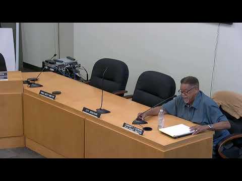
Representatives from HoverSafe presented an overview of advanced air mobility, delivery drones and air taxis to the Benton Harbor commission Sept. 24, urging the city to prepare regulations and consider monetizing takeoff/landing zones. Drew Kenning, identified in the presentation as a cofounder and chief strategy officer for HoverSafe, described the company as an outsourcer that would help the city manage drone activity, mapping, permits and potential revenue streams.
Kenning said HoverSafe’s approach would let cities control when and where drones land and take off — the company framed the relevant local control as applying near the ground and suggested approximately a 400-foot threshold as the zone where municipal authority can be applied. Kenning also recommended designing landing zones on land the city already owns and compared municipal regulation to parking meters and franchise fees: “If you build it, they will come,” he said, urging the city to get ahead of the technology rather than react after operations are in place.
The presentation tied public safety use cases — corridors for first responders and integration with manufacturers such as Skydio — to commerce that could include delivery drones and, eventually, air taxis. Kenning said HoverSafe is “agnostic” to manufacturers and is building an aviation layer integrated with GIS mapping tools to deliver route and landing-zone management. He cited activity regionally and nationally and said his company currently works with about 30 cities and expects to expand.
Commissioners asked for more detail on enforcement, costs and how municipal control would work alongside federal rules. Commissioner Henry pressed on the question of registration and authority: “So they would have to register with us? And if they don't, what is the process…?” City staff and the presenter answered that airspace and air rights are a complex, developing area. Kenning said the practical control the city can exercise is where a vehicle touches down and takes off and described that area — “about 400 feet and below” — as where municipal permits, fees and land-use rules would apply. The city manager and the presenter said they would provide written materials, an example proposal and scope of work to commissioners as soon as possible.
Commissioner Warren said she did not see literature in her packet and asked for costs and additional information. Kenning said he would send example proposals and timelines and confirmed the company could provide materials prior to the Oct. 6 commission meeting. City officials also asked about public-safety partnerships and whether the city’s existing drone capability (the city indicated it currently owns a smaller drone) could be integrated with HoverSafe's platform.
Why it matters: Cities have limited, but consequential, local authority over low-altitude operations when aircraft are near the ground, and local rules can affect public-safety response, privacy concerns, commercial delivery and potential revenue models. The presentation framed regulation as an opportunity to advance public-safety access and local economic development while outlining uncertain legal boundaries.
No vote or formal action was recorded; commissioners requested follow-up materials and a proposal and asked staff to arrange conversations before the Oct. 6 commission meeting.