Get Full Government Meeting Transcripts, Videos, & Alerts Forever!
Get email alerts on the Infrastructure Planning topic
No spam. Unsubscribe anytime.
Bureau of Planning and Sustainability releases Inner East infrastructure study; identifies areas for targeted land‑use work and infrastructure coordination
Summary
The Bureau of Planning and Sustainability presented a technical Inner East Side infrastructure study to the Climate Resilience and Land Use Committee, showing that some inner neighborhoods could accommodate increased housing with targeted investments while other subareas will require larger capital work, particularly for an aging trunk sewer and major corridors.
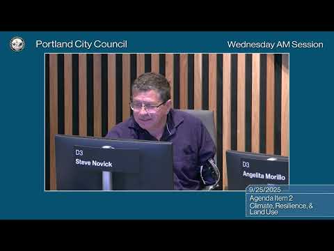
The Bureau of Planning and Sustainability (BPS) presented the Inner Southeast (Inner East Side) Infrastructure Study to the Climate Resilience and Land Use Committee on Thursday, describing a technical analysis intended to inform future land‑use planning and potential rezoning to support more housing.
BPS staff said the study tested two conceptual growth scenarios across four tiers of potential zoning changes, then asked bureaus including PBOT, the Bureau of Environmental Services (BES) and the Water Bureau to assess infrastructure capacity and risks under those scenarios. The analysis showed the study area is "generally well served by infrastructure," but that accommodating higher densities in some southern subareas would require more extensive capital planning and coordination, especially to address an aging trunk sewer (the Taggart D trunk line) and transportation congestion on major east‑west corridors such as Powell.
Ryan Singer, principal planner for long range planning and urban design at BPS, told the committee the higher‑growth conceptual scenario creates a theoretical capacity of roughly 144,000 units across the study area and a lower‑growth scenario about 90,000 units; BPS uses models to estimate a realistic utilization rate rather than assuming maximum build‑out. Using Metro's and state growth allocations, BPS estimated that expected growth would use a portion of that capacity — a utilization rate BPS tested at about 28% in some analyses — yielding an allocation in the tens of thousands of new units under plausible scenarios.
Patricia (as introduced in committee) described the study as a technical background report to inform a future legislative planning process. She said the work was funded by a DLCD grant and conducted in collaboration with PBOT, BES and the Water Bureau. Patricia emphasized the study is not a zoning proposal: "These scenarios are for analysis purposes only. These are not zoning proposals," she told the committee, adding the analysis is intended to align land‑use planning with infrastructure capital and funding plans so the city can prioritize investments alongside potential increases in development capacity.
Infrastructure bureaus described specific constraints. BES staff said the Taggart D trunk line is an older brick trunk with capacity and failure‑risk concerns and that smaller diameter pipes could develop localized capacity deficiencies under higher growth scenarios; those deficiencies can cause localized flooding in streets, yards or basements. BES planning division manager Elizabeth Rees Katigan said the trunk issues and some condition risks are already on BES’s radar but are not currently in the five‑year CIP; addressing them will require prioritization, planning and funding. PBOT’s modeling showed increased congestion on major east‑west corridors under higher density scenarios; some congestion could be mitigated with signal timing and smaller operational measures, but larger increases would likely need more costly transportation investments or roadway reconfiguration.
BPS staff recommended sequencing and phasing: areas such as Sullivan’s Gulch, Sandy, Mount Tabor, Kearns, Buckman and Brooklyn are candidates for earlier land‑use study because their infrastructure needs are relatively more manageable; Richmond and South Tabor would require larger capital work to address the trunk line and corridor constraints. Staff outlined possible PBOT measures (in‑motion plans, parking management, shared parking strategies, public‑realm improvements and coordination with TriMet) and suggested funding sources such as system development charges, external grants or other capital funding mechanisms could be explored.
Members of the public and housing advocates supported the study and urged upzoning and pro‑housing policy. Heidi Hart of Portland Neighbors Welcome said the organization has engaged neighborhood associations and supports neighborhood‑scale apartments and corner stores in the Inner East Side. Sarah Radcliffe of Habitat for Humanity described the need for affordable family‑sized homes and said nonprofit developers cannot meet demand alone. Michael Anderson of the Sightline Institute highlighted the climate and fiscal benefits of allowing more housing in transit‑served areas: "When people live, closer to each other, when they choose to do that, they cut their energy use in half without even noticing it," Anderson said, and added that redevelopment can broaden the tax base and help pay for infrastructure. Indi Namkhun of Verde argued expanding housing in high‑opportunity Inner neighborhoods can reduce displacement pressure in economically vulnerable areas.
Council members asked for further detail on engagement and phasing. Councilor Knoell asked why northern portions of the study area showed lower modeled growth and whether that reflected market conditions; staff said the model reflects current market values and that future planning would refine boundaries and look at finer‑grained opportunities, including edges of historic districts. Councilor Ryan and others stressed the need to factor recent changes in market demand and transit service into future analyses and to include development and construction community engagement in the next phase.
BPS said the study is the technical first step: the next phases will include developing a project scope, an engagement plan and legislative proposals if warranted. Staff emphasized coordination with PBOT, BES and the Water Bureau will be required to align capital plans and funding before any zoning changes are finalized. The committee asked staff to return with scopes, refined cost estimates, and detailed outreach plans as BPS develops a timeline for the planning process.
BPS staff described the study as an early, technical analysis to inform policy and capital planning rather than a decision to rezone. The bureau said it will use the report to design a public engagement process and phased work program that balances housing goals with infrastructure capacity and funding realities.