Get Full Government Meeting Transcripts, Videos, & Alerts Forever!
Get email alerts on the Land Use Development topic
No spam. Unsubscribe anytime.
Walker planning commission tables River Bend North site‑condominium amid concerns about two 90‑degree bends and utilities
Summary
The Planning Commission voted to table the preliminary site‑condominium plan for River Bend North after staff, departments and residents raised safety, drainage and utility questions tied to two 90‑degree road bends and several lot‑specific service issues.
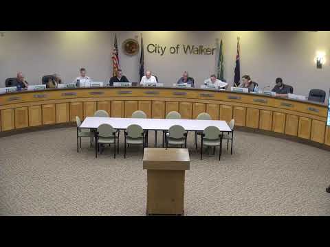
The Walker Planning Commission on Sept. 17 voted to table the preliminary site‑condominium plan for River Bend North (Case No. 25009) after multiple city departments and residents flagged safety and utility concerns tied to two 90‑degree bends in the proposed street layout.
The commission took the action by motion of Commissioner Elena, supported by Commissioner Rob; the motion to table passed. The plan under review would convert the parcel to a suburban residential single‑family layout and, as presented at the meeting, included a proposed public water extension, a proposed extension of Fleetwood Drive and a mix of lots inside and outside the site condominium.
Why it matters: City engineering, police, fire and public works cautioned that the pair of near‑right‑angle bends could create tight driveway approaches, reduce on‑street parking capacity, complicate emergency access and require future parking restrictions. Commissioners said they wanted the developer to work with staff to soften the bends or otherwise mitigate the concerns before returning to the commission.
Key concerns and staff findings - City Engineer Scott Connors told the commission that comments from public works, police and fire “are a little bit all over the board, but certainly there’s cautions in most of those.” He noted that driveways and on‑street parking would be tighter around the corners and that no‑parking zones might be needed, which would increase enforcement demands.
- Connors also flagged a retaining wall north of Lot 44 that is shown in right‑of‑way and said it should be privately owned and maintained by the association rather than located in public right‑of‑way.
- Connors and other staff emphasized sidewalk and Safe Routes to School program outreach as a potential funding avenue for pedestrian improvements, but he cautioned “that is not a guarantee that anything’s gonna happen. It’s probably a long shot.”
- The engineer said three outlier parcels labeled A, B and C would not be served by public water as currently shown; he said Lot C may have access but Lots A and B do not. Extending the water main could change that status but would likely require work with neighboring utilities and could take about a year.
Developer response and technical changes - Rick Pulaski, the civil engineer/planner for the project, said the applicant revised the design to use the City of Walker’s standard detail for 90‑degree bends, increasing the curb‑to‑curb width through those turns from about 31 feet to roughly 35 feet. “We are now using the City of Walker standard 90 degree detail as provided within the construction specifications,” Pulaski said.
- The applicant acknowledged other draft revisions: changes to grading near a trapped water area, an adjustment to the retaining wall depiction, and a willingness to relocate the mail kiosk if staff recommends it. The developer told the commission they expect a six‑ to eight‑month design process if the commission grants further approvals.
Public comment and environmental/utility notes - Several neighbors voiced safety and quality‑of‑life concerns during the reopened public comment period, including requests for traffic calming, better sight lines, and asking whether lots could be served by public water rather than private wells.
- One resident, Joseph Sitko of 4710 Riverbend Drive, described increased traffic speeds on nearby streets and said, “There is from 03:00 to 05:00 going down Riverbend, there is 30, 40, 50 cars,” urging attention to pedestrian safety.
- Commissioners and staff also noted an oil well closure process that is being handled by EGLE; the timeline and sequence for closure are controlled by that state agency and not by the city.
Deliberation and outcome - Commissioners repeatedly said the main impediment to approval was the proximity and geometry of the two 90‑degree bends and their potential safety effects for emergency vehicles, plows and parked cars. Several commissioners supported tabling the item so the developer could work with staff to soften the bends, consider drive radius changes (25‑mph curve standard was cited), address mailbox placement and drainage, and resolve retaining wall ownership.
- The commission’s final motion (made by Commissioner Elena and supported by Commissioner Rob) tabled the preliminary site‑condominium plan with direction that the applicant work with staff to implement softer curves meeting 25‑mph design standards, address engineering comments, and return with a revised plan.
What’s next - The applicant indicated they will return with revised plans after working with city staff; the commission said neighbors will receive mailed notice when the project is scheduled to return.
Sources: Planning director Paula Privy; City Engineer Scott Connors; project planner/engineer Rick Pulaski; public testimony at the Sept. 17, 2025 Planning Commission meeting.