Get Full Government Meeting Transcripts, Videos, & Alerts Forever!
Get email alerts on the Housing Development topic
No spam. Unsubscribe anytime.
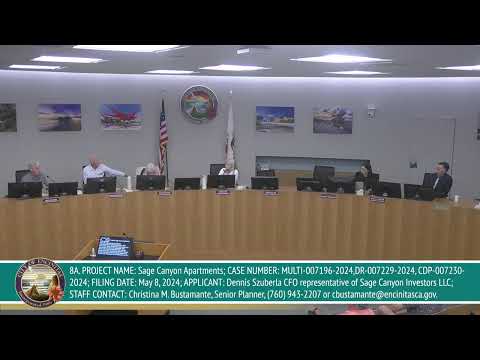
Planning commission continues Sage Canyon apartment project amid safety, frontage and wetland concerns
Summary
The commission continued consideration of the 120-unit Sage Canyon apartment project to a date uncertain after staff said the applicant’s requested concession (omitting required frontage improvements on El Camino Real) would cause significant adverse public safety impacts. Vote passed 4-0 on the continuance.
The Encinitas Planning Commission voted 4-0 to continue the Sage Canyon apartment application to a date uncertain after staff recommended the delay so the applicant could provide complete right‑of‑way improvement plans and coordinate with affected agencies.
Staff presenter Christina Bustamante summarized the proposed project as a discretionary package that includes a design review permit, a coastal development permit and state density bonus requests for a 120‑unit multifamily development on a 5.23‑acre vacant site south of Sage Canyon Drive. The applicant proposes 24 low‑income units as part of its density bonus offer, parking of 170 spaces and several waivers and concessions under state density bonus law.
Bustamante and city engineering staff detailed the concession at the heart of the continuance: the applicant sought to omit required public frontage improvements along approximately 450 feet of El Camino Real (sidewalks, a buffered bike lane and an additional northbound travel lane). The city engineer’s memo in the staff packet concluded that omitting those improvements would cause significant, direct and unavoidable adverse impacts to pedestrian and bicycle safety, vehicular traffic safety and evacuation time in the event of an emergency.
Staff said the concession would materially reduce pedestrian access and create an inconsistent roadway cross‑section along a prime arterial where prevailing speeds are high; the memorandum also cited wildfire evacuation concerns for nearby Olivenhain residents who use El Camino Real as an alternate route. Based on those findings, staff recommended continuing the item so the applicant could submit complete right‑of‑way improvement plans that minimize wetland impacts and satisfy the city engineer’s recommendations. Bustamante recommended coordination with applicable agencies, including the California Coastal Commission.
Project details presented by the applicant: the developer, Wormers Properties (owner representative Austin Wormers; project representative Patrick Zabrocki), described a site plan that would preserve roughly 2.5 acres of on‑site habitat while providing a mix of studios, one‑ and two‑bedroom apartments. The proposal requests multiple waivers (including allowing retaining walls up to approximately 34 feet, encroachment into steep slopes beyond the municipal code limit, and building height on the west elevation up to about 75 feet) in addition to a concession to omit full frontage improvements. The applicant said the project would provide 170 parking spaces (more than the state density bonus minimum) and emphasized green building features.
Applicant and legal counsel argued the concession is required under state density bonus law unless the city demonstrates a project‑specific, substantial evidentiary link between the project and a safety hazard. The applicant contended staff relied on generalized research rather than project‑specific data showing a direct causal link.
Public commenters strongly urged the commission to deny the concession and require frontage improvements. Nearby residents and speakers raised safety concerns at the project frontage: they described a short, un‑sidewalked stretch and a “pop‑out” that forces pedestrians or bicyclists close to high‑speed traffic, presented a short video of the existing condition, and cited past pedestrian fatalities on El Camino Real. Speakers also raised wetlands (Lux Creek) buffers, potential CEQA implications tied to grading and habitat adjacency, and school‑zone and evacuation worries.
Commissioners asked technical questions about prior approvals, coastal jurisdiction, fire department review, vehicle miles traveled and whether other nearby projects received similar slope or retaining‑wall waivers. City staff and consultants answered several questions: the site is inside the coastal zone but staff said the current design avoids the Coastal Commission’s 100‑foot appeal buffer (however, right‑of‑way work could be within an appealable area); the fire department reviewed the project and raised evacuation and safety concerns consistent with the city engineer’s memo; and prior projects had precedent for slope encroachment and higher retaining walls but each project’s facts differ.
After deliberation, the commission followed staff’s recommendation and voted to continue the project to a date uncertain with direction that the applicant return with complete right‑of‑way improvement plans and all applicable studies. Staff said it would need time (staff indicated at least several weeks to a month for complete analysis) to assemble a full report and coordinate with outside agencies; staff asked the applicant to coordinate publicly and with agencies including the Coastal Commission if applicable.
Next steps: the commission will revisit the project when staff and the applicant provide the requested right‑of‑way plans and studies. If new information is submitted, the public will have the legal right to comment on that new material at the subsequent hearing. The commission’s continuance preserves the project’s remaining discretionary review opportunities, and the item remains subject to future action and potential appeal to City Council.