Get Full Government Meeting Transcripts, Videos, & Alerts Forever!
Get email alerts on the Public Lands topic
No spam. Unsubscribe anytime.
HRA outlines plan to market and dispose city‑owned parcels, to launch interactive property map
Summary
Deputy Director McMahon presented a multi‑phase plan to identify, categorize and disposition HRA‑owned parcels across Saint Paul, including a public interactive map, expanded marketing (yard signs/QR codes), and a mix of unsolicited offers and RFPs to return properties to productive use.
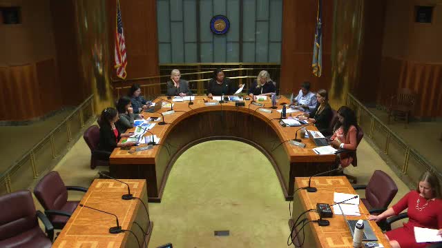
Deputy Director McMahon told the Housing and Redevelopment Authority that PED has completed inventory and analysis phases for HRA‑owned parcels and is moving into a third phase focused on marketing, offers and disposition.
Scope and approach: McMahon described a phased process: phase 1 identified and inventoried HRA parcels and reviewed titles, zoning, topography and other constraints; phase 2 created a cross‑division working group with economic development, planning and housing staff to match funding sources and development approaches to parcel characteristics; phase 3 will prioritize marketing, solicit third‑party offers and issue targeted requests for proposals (RFPs) where appropriate.
Interactive map and transparency: McMahon said the department will publish an interactive map on the HRA property website so residents and developers can see HRA‑owned parcels, click to retrieve public parcel information and learn how to prepare offers. She said the city’s recent cyber incident slowed the timetable but that a non‑interactive version may be available in the next month or two with a fully interactive map to follow.
Methods of disposition and legal framework: McMahon reminded commissioners that HRA disposition is governed by Minnesota Statute 469.029 and HRA policies; methods include individual unsolicited offers and traditional RFPs. She said some parcels are better suited to be transferred to other city functions (parks, public works) while others are earmarked for sale to develop housing or commercial uses.
Implementation and outreach: The department plans yard signs with QR codes as a pilot, expanded digital listing experiences to mirror commercial platforms, and outreach to emerging developers and community partners. Staff said they will categorize parcels by readiness (near‑term 1–5 years vs. longer‑term 5–10 years) and remain open to considering unsolicited offers while RFPs are prepared.
Commissioner response and timeline: Commissioners expressed support for aggressive marketing to return parcels to the tax roll and cited urgency to move properties into productive use. McMahon said the immediate goal is to publish a map and a timeline for RFP readiness; she estimated a non‑interactive map in a month or two and a schedule laying out parcels likely to be released for RFP in 2026–2028.
Ending: McMahon asked for continued ward‑level collaboration; commissioners encouraged outreach to emerging developers and to partner programs that train first‑time and small developers to increase equity and local capacity.