Get Full Government Meeting Transcripts, Videos, & Alerts Forever!
Get email alerts on the Open Space Rezoning topic
No spam. Unsubscribe anytime.
Commission recommends rezoning 25.5 acres north of Dupree Road to downtown open space
Summary
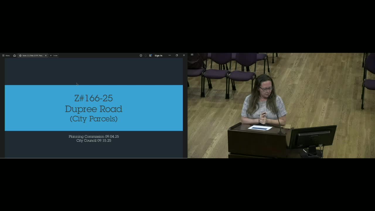
The planning commission unanimously recommended rezoning five city‑owned parcels north of Dupree Road and east of I‑575 to DTOS (downtown open space) to consolidate split zoning across the 25.5‑acre assemblage; no development is planned.
Woodstock City planning commissioners unanimously voted Sept. 4 to recommend rezoning five city‑owned parcels north of Dupree Road and east of I‑575 (Z166‑25) to Downtown Open Space (DTOS), consolidating split zoning across roughly 25.5 acres and matching the parcels to the Natural Preserve character area.
Planner DeMona (staff) said no residential or commercial development is planned for the assemblage, which currently includes parcels zoned DTLR (low‑density residential) and DTMRA (medium‑density residential). The rezoning to OS (Downtown Open Space) would make zoning consistent with the underlying use and the comprehensive plan’s character area for natural preserve and recreational/open‑space uses.
A resident who lives adjacent to the Pine Hill pump station asked whether the parcels are city‑owned; staff confirmed all 25.5 acres are owned by the city and intended to remain open space with potential connections to existing green‑print plans such as Little River Park.
The commission’s unanimous recommendation will proceed to city council for final action.