Get Full Government Meeting Transcripts, Videos, & Alerts Forever!
Planning commission backs annexation and 84‑unit townhome plan after landfill remediation, FEMA review required
Summary
Woodstock planning commissioners voted unanimously to recommend annexation, rezoning and a conditional use permit for a 16.36‑acre, 84‑unit townhome development on Arnold Mill Road contingent on landfill remediation, FEMA floodplain approvals and additional conditions including trail connectivity and homeowner disclosures.
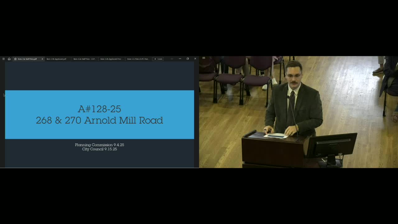
Woodstock City planning commissioners voted unanimously Sept. 4 to recommend annexation, rezoning and a conditional use permit for two Cherokee County parcels at 268–270 Arnold Mill Road to allow an 84‑unit single‑family attached subdivision, contingent on environmental remediation and other conditions.
The project, presented by city planner Cameron Dunn and the applicant team representing Parksoft/Park Place developers, covers about 16.36 acres and proposes 84 townhomes with a mix of front‑ and rear‑loaded units, two Arnold Mill Road access points and internal alleys. Dunn said 33 of the 84 units would be located above a portion of the site previously used as a construction and demolition landfill and later as an automobile storage/tow yard. Phase I and Phase II environmental reports identified methane and elevated arsenic and lead in soil above the Georgia Environmental Protection Division (EPD) Hazardous Site Response Act thresholds, the planner said.
Staff and the applicant told commissioners the project depends on an extensive remediation program overseen by a professional environmental engineer and approved by Georgia EPD. The applicant also confirmed it will pursue the FEMA steps needed to change floodplain mapping after proposed cut‑and‑fill, including conditional map limits and a Letter of Map Revision, and said methane mitigation such as subsurface vapor barriers is part of the plan.
Why it matters: the site sits partially in FEMA‑designated floodway and floodplain and includes an inert landfill with hazardous materials;…
Already have an account? Log in
Subscribe to keep reading
Unlock the rest of this article — and every article on Citizen Portal.
- Unlimited articles
- AI-powered breakdowns of topics, speakers, decisions, and budgets
- Instant alerts when your location has a new meeting
- Follow topics and more locations
- 1,000 AI Insights / month, plus AI Chat