Get Full Government Meeting Transcripts, Videos, & Alerts Forever!
Get email alerts on the Land Use Annexation Environmental Remediation topic
No spam. Unsubscribe anytime.
Planning commission backs annexation and 84‑unit townhome plan after landfill remediation, FEMA review required
Summary
Woodstock planning commissioners voted unanimously to recommend annexation, rezoning and a conditional use permit for a 16.36‑acre, 84‑unit townhome development on Arnold Mill Road contingent on landfill remediation, FEMA floodplain approvals and additional conditions including trail connectivity and homeowner disclosures.
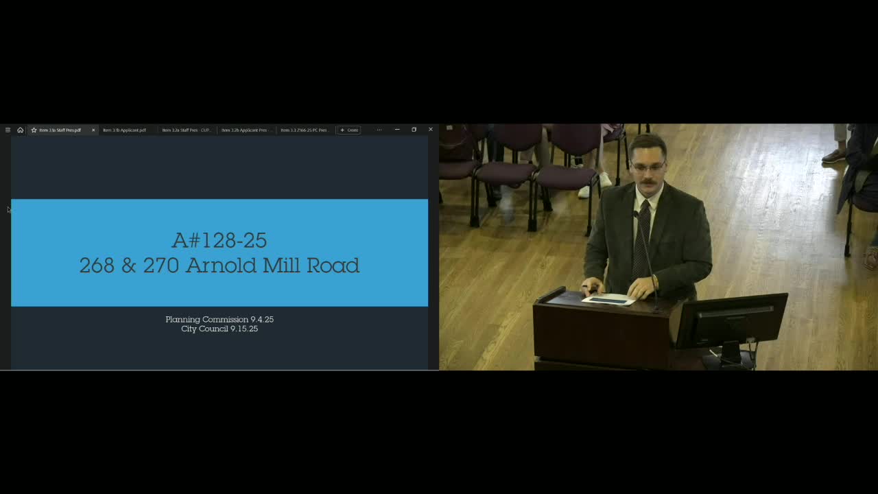
Woodstock City planning commissioners voted unanimously Sept. 4 to recommend annexation, rezoning and a conditional use permit for two Cherokee County parcels at 268–270 Arnold Mill Road to allow an 84‑unit single‑family attached subdivision, contingent on environmental remediation and other conditions.
The project, presented by city planner Cameron Dunn and the applicant team representing Parksoft/Park Place developers, covers about 16.36 acres and proposes 84 townhomes with a mix of front‑ and rear‑loaded units, two Arnold Mill Road access points and internal alleys. Dunn said 33 of the 84 units would be located above a portion of the site previously used as a construction and demolition landfill and later as an automobile storage/tow yard. Phase I and Phase II environmental reports identified methane and elevated arsenic and lead in soil above the Georgia Environmental Protection Division (EPD) Hazardous Site Response Act thresholds, the planner said.
Staff and the applicant told commissioners the project depends on an extensive remediation program overseen by a professional environmental engineer and approved by Georgia EPD. The applicant also confirmed it will pursue the FEMA steps needed to change floodplain mapping after proposed cut‑and‑fill, including conditional map limits and a Letter of Map Revision, and said methane mitigation such as subsurface vapor barriers is part of the plan.
Why it matters: the site sits partially in FEMA‑designated floodway and floodplain and includes an inert landfill with hazardous materials; the city’s recommendation links land use approvals to environmental and federal approvals before residential development proceeds.
The planning staff summary said much of the developable area is constrained by Rubes Creek buffers, a FEMA floodway (no development allowed under federal standards) and a mapped floodplain that requires cut‑and‑fill mitigation to preserve pre‑development flow. The applicant asked to annex the parcels into the City of Woodstock and rezone them to R3C (maximum 7 dwelling units per acre). At the proposed density the subdivision would be about 5.13 dwelling units per acre.
To accommodate remediation and site constraints the applicant requested four variances: reduced front, side and rear setbacks (10‑foot reduction requested) and encroachment for grading within the 50‑foot stream buffer and the 75‑foot impervious setback. Staff recommended approval with 16 conditions and the Development Process Committee voted 6‑1 to recommend approval with conditions.
Key conditions recommended by staff and clarified or added by the commission require: (1) a landfill remediation plan prepared by a professional environmental engineer and approved by Georgia EPD with a separate schedule from residential land‑disturbance permits; (2) submittal of any FEMA approvals and a Letter of Map Revision for the floodplain before final plat; (3) reestablishment and replanting of stream buffers after remediation; (4) timelines for demolition of structures and required infrastructure for fire access and sidewalks; (5) reservation or construction of a 10‑foot trail along the Arnold Mill Road frontage and dedication/reservation of right‑of‑way and trail connectivity through the site; and (6) notice to potential homebuyers of the property’s prior landfill use with transmittal of EPD/EPA completion documents and a hold‑harmless acknowledgement.
Commission discussion focused on methane and long‑term monitoring, trail timing, buffer planting and a homeowner association (HOA) to maintain buffer plantings and open space. The applicant said disposal costs make remediation “very expensive” and gave an approximate remediation budget figure during the hearing; the applicant said disposal fees are a major portion of the cost. The applicant also said it is working with home builders experienced in similar sites and that post‑remediation testing and EPD sign‑off would govern when monitoring ends.
Public comment: two residents spoke. Colette Donovan, who lives at 1032 Washington Avenue, said she and neighbors value the existing view, wildlife and quiet and raised traffic and health concerns connected to methane and remediation work. Katie O’Connor (334 Independence Way) suggested a condition to retain a 25‑foot rear setback along one neighbor property line and asked that trail construction on Arnold Mill Road include a firm timeline so trail segments connect to the neighborhoods to the east.
Applicant response and added conditions: the applicant team (represented in the hearing by Sam Larkin and design/environmental consultants David Floyd and Jeff Smith) said the project will add pedestrian connectivity to downtown, will install evergreen plantings and a privacy fence along the eastern property line, and intends to construct the Arnold Mill Road trail segment. Commissioners added conditions requiring a replanted (rather than undisturbed) 25‑foot buffer along the eastern property line with robust evergreen plantings established before building permits, installation of a privacy fence at the top of the slope, establishment of an HOA, a cap on rental units (a condition added by motion limited to 20% rental units), and staff follow‑up on monitoring options before city council.
Formal action: the commission voted unanimously to recommend approval of annexation, rezoning to R3C, approval of the conditional use permit for the townhomes and the concurrent variance requests subject to staff‑recommended conditions and the additional conditions the commission adopted. The commission’s recommendation will go to city council for final action.
What remains: the annexation and rezoning will require city council approval. Environmental remediation plans must be approved by Georgia EPD, and any cut‑and‑fill changes to the floodplain must be approved by FEMA and reflected in map revisions before residential development final platting. The applicant also agreed to provide staff and council documentation showing proposed monitoring and remediation timelines prior to council consideration.
Ending: the commission sent the recommendation to city council; residents and stakeholders were encouraged to follow the case as it advances to council.