Get Full Government Meeting Transcripts, Videos, & Alerts Forever!
Get email alerts on the Land Use Development topic
No spam. Unsubscribe anytime.
Developers outline 381‑unit plan for 1404 E. Riverside; PUD assessment raises trees, wetlands and height questions
Summary
Developers presented a development assessment Sept. 17 for a planned unit development at 1404 East Riverside Drive proposing about 381 residential units, structured parking, 1.17 acres of dedicated parkland and multiple code modifications including a request to allow a maximum height of 180 feet.
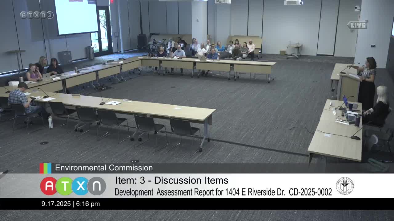
Developers for a 2.62‑acre property at 1404 East Riverside Drive gave the Environmental Commission a pre‑application development assessment Sept. 17 for a planned unit development that proposes about 381 residential units, structured parking and multiple code modifications including an increase in allowable height to 180 feet.
Marcel Boudreaux of the Planning Department described the development‑assessment step as a required preliminary review before a formal PUD application. Amanda Swar of the Joiner Group, representing the property owner, told commissioners the site sits within the East Riverside Corridor waterfront overlay and includes an existing active site‑development permit approved for roughly 222 units; the applicant proposes to retain 15 on‑site affordable units that were part of that earlier approval.
Key project details presented by the applicant and technical team: - Site area: approximately 2.62 acres (addresses listed as 1400½ and 1404 East Riverside Drive). - Proposed units: about 381 residential units (existing SDP approved for 222). - Affordable housing: 15 on‑site affordable units from the existing SDP would remain. - Base district/rezoning approach: the applicant plans to seek a PUD with a CS (general commercial services) base district and a code amendment to remove the East Riverside Corridor designation for this parcel. - Height: the applicant seeks a 180‑foot maximum (applicant stated this is consistent with the East Riverside Corridor plan). - Parkland: about 1.17 acres of public parkland dedication (roughly 40% of the site) along the north side; applicant committed to porous pavement for at least 60% of flatwork inside the park area. - Open space and public amenity: a proposed roughly 6,000‑sq. ft. plaza along Riverside and about 13,000 sq. ft. of private common open space; a public water‑bottle filling station was promised. - Parking: all parking is proposed as structured; applicant proposes wiring 25% of parking for future EV charging and providing 10% of units move‑in ready on opening. - Stormwater and tree work: applicant committed to treating 100% of required on‑site stormwater with water‑quality methods, to use native species per the Grow Green guide, and to relocate one large live oak (described as a 54‑inch tree) into the dedicated parkland. The project proposes removal of several trees that the applicant and city arborist described as in poor or declining condition including a 26‑inch American elm (approved for removal under the existing SDP) and two live oaks (described as 37‑inch and 32‑inch) for which the applicant seeks mitigation. Applicant said mitigation rates for the newly proposed removals would be 400% (tree replacement), and 150% for an already‑approved removal. - Impervious cover: the applicant requested an increase in allowable impervious cover to 65% in the waterfront overlay area outside primary/secondary setbacks while stating total site impervious cover would remain under about 43% overall. - Environmental features: staff and the applicant said the project contains critical water‑quality zones, a seep and wetland features on the north side that abut the parkland; the applicant said it plans to keep those areas undisturbed and to carry through wetland mitigation and a dense planting plan in the parkland.
Technical team members present included a landscape architect (Cliff, KW Landscape Architects) and civil engineer Sam Pfeiffer (Kimley‑Horn), who described the project’s wetland mitigation and dense plantings, and noted the site’s steep topography separates the project from the lakeside trail.
Commissioners pressed the applicant on tree relocation survivability, mitigation rates, the availability of 4‑inch caliper utility‑compatible trees, access to transit and Project Connect integration, noise attenuation for residents facing I‑35, and how the project would fit with future I‑35 and Riverside corridor improvements. Staff clarified this is a development assessment only; a PUD application with formal public hearings and detailed submittals will follow, including a site‑development permit amendment to reconcile the existing SDP with the PUD plan.
No formal vote was required at the development‑assessment stage. Staff said materials presented by the applicant are not always posted to the city website at this stage but agreed to circulate the applicant’s presentation to commissioners following the meeting.