Get Full Government Meeting Transcripts, Videos, & Alerts Forever!
Get email alerts on the Gas Well Regulation topic
No spam. Unsubscribe anytime.
Denton planning commission reviews gas-well setbacks, relief options
Summary
City staff reviewed how Denton measures setbacks for new and existing gas wells, limits on local regulation under state law, and the permit and relief options available to operators and developers.
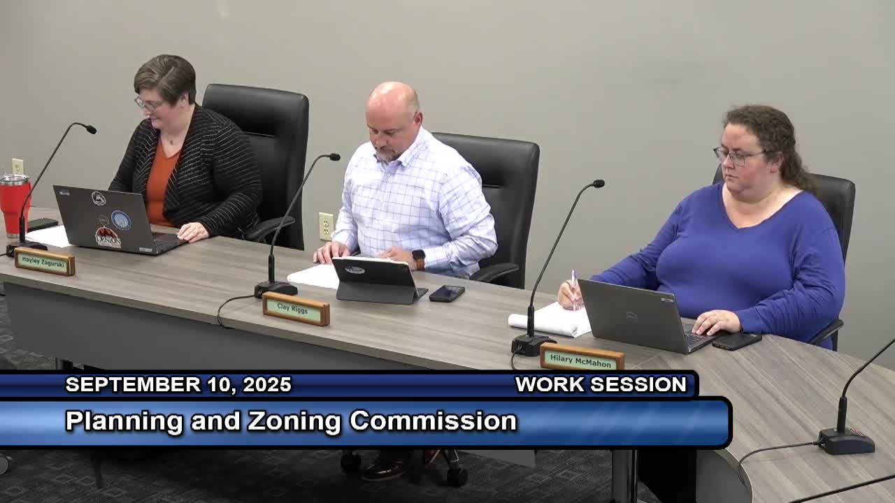
At a Planning and Zoning Commission work session, city staff reviewed local rules for gas-well development, including setback distances, relief procedures and how state law limits municipal authority.
“Continuing with our trend of educational boot camps, today, we're going to be delving into the world of gas wells and gas well regulations,” said Angie Mangleris, development review manager, who reviewed the Denton Development Code provisions and state limits. She told commissioners the discussion would cover zoning districts, required setbacks and relief procedures.
The discussion matters because gas-well activity touches property rights, public safety and land use. Mangleris summarized state limits in the Texas Natural Resources Code, Section 81, saying that “a municipality or political subdivision may not enact or enforce an ordinance or other measure, that effectively bans, limits, or otherwise regulates an oil and gas operation,” and noted one exception in subsection (c) that allows some regulation of above-ground activity.
Under the city code (Denton Development Code, Chapter 6 and related provisions in Subchapter 2), gas wells are treated as a permitted industrial use in all zoning districts within the city limits, subject to use-specific standards in Subchapter 6. Key measurement rules and distances explained by Mangleris included:
- Drilling and production site setbacks for new gas wells in most residential and nonindustrial zoning districts: a required separation of 1,000 feet with a minimum allowed reduction to 500 feet. In light industrial (LI) and heavy industrial (HI) districts the standard is reduced to 250 feet.
- Reverse setbacks (when a protected use like housing or a school is proposed near an existing well): generally 500 feet, with a minimum reverse setback of 250 feet in some circumstances and in LI/HI districts.
- Measurement method: setbacks are measured “as the crow flies” from the exterior point of an occupied protected structure or the boundary of a residential lot to the boundary of the gas-well pad site (not measured along streets).
Mangleris described the permit/approval process for a new drilling and production site. A prospective operator follows the gas-well development site-plan process in Subchapter 2; an approved site plan expires unless a complete gas-well permit application is filed within one year of the site-plan approval or drilling/production activity begins; the site plan also lapses if no drilling or production activity occurs for three years.
She outlined three relief routes for operators seeking reduced setbacks: a waiver procedure, the Zoning Board of Adjustment (ZBA), and administrative relief. Under the waiver option, an operator can seek reduction to the 250-foot minimum only after obtaining written, notarized waivers from 100% of landowners of protected uses and residential lots within the affected area. The ZBA may grant variances down to 250 feet. Administrative relief, reviewed by the director, can reduce a setback to 375 feet but not to the full 250-foot minimum.
When a protected use proposes development near an existing well (a reverse-setback situation), similar options apply: applicants may seek ZBA relief to reach the 250-foot minimum or administrative relief to 375 feet. Mangleris said administrative relief may be considered when at least 50% of a site is encumbered and other in-code design options (for example, increasing building height by up to 20% or reducing parking by up to 20% to make a site work) have been explored.
Commissioners added local context. The commission chair said the city had been “very proactive in shutting [wells] down” years ago, and that state rule changes followed. Commissioner Dyer said those events helped spark sustained local political activism on the issue. During the discussion a commissioner asked whether the underlying geology was the Barnett Shale; Mangleris confirmed the map of wells aligns with that formation.
No changes to the code were proposed at the meeting. Staff said the gas-well regulation item will be checked off the commission’s project matrix as discussed; any code amendments would require a separate review and approval process.
Notes: the presentation and Q&A focused on city-limits regulation (the city does not regulate its extraterritorial jurisdiction for land use), the numeric setbacks and the relief procedures summarized above are from Denton Development Code Subchapter 6 and the site-plan process in Subchapter 2 as described by staff.