Get Full Government Meeting Transcripts, Videos, & Alerts Forever!
Get email alerts on the Land Use topic
No spam. Unsubscribe anytime.
Draft land-use maps, growth areas and zoning categories remain under review; public speaker urges consideration of specific parcels
Summary
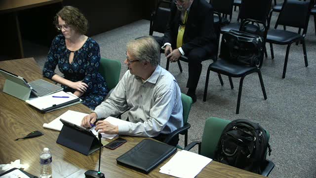
At a Sept. 11 work session, planners displayed draft land-use maps and future-growth-area material, discussed map legends and parcel-level mapping, and heard public comment from Mark Propper asking the planning commission to consider specific properties near Routes 589 and 113 for future growth-area designation and rezoning consistency.
Worcester County planning staff presented the draft land-use chapter and maps at a Sept. 11 work session and outlined remaining mapping tasks, coordination with municipalities and next steps for public review. Staff said the future land-use map is still in progress and that shape files have been shared with county reviewers.
Why it matters: future land-use designations and growth-area mapping set expectations for where infrastructure and development will be encouraged and affect later rezoning decisions and permit eligibility.
Key points from staff and commissioners
- Maps and legends: staff acknowledged incomplete map legends and several placeholders in the draft. They said some maps were copied from prior state or MDE sources and will be redrawn to match the county's updated growth-area outlines.
- Parcel-level mapping and boundaries: planners said the future land-use map will be parcel-specific and cross-referenced to growth-area tables, but they also discussed building in reasonable flexibility for parcel-boundary interpretation where cadastral data has changed since older map layers were created.
- Zoning categories and suggested edits: participants suggested updating language to encourage mixed-use development, add solar as a planning consideration, and reference completed design guidelines for commercial development. A previously used "E-1" or estate-type district and other legacy categories were discussed for possible elimination or rephrasing in the new plan.
- Agricultural protections and transfer-development mechanisms: staff and commissioners discussed existing agricultural subdivision limits (minor subdivision rules), rural-cluster ordinances, and the county's limited use of transfer-development-rights (TDR) or purchase-of-development-rights (PDR) approaches. Several participants said the county's soil and water constraints have helped preserve agricultural lands.
Public comment: parcel-specific request
Mark Propper, identified himself and said he had submitted materials on behalf of Skolnick/BLS Realty for parcels west of Route 589 and near Route 113. He urged the planning commission to keep those parcels under consideration for future growth-area designation and to avoid adopting a land-use map that would bar later rezoning. "If I'm gonna be seeking a rezoning of this property in however many months, and you've already decided what the land use category is, and that land use category doesn't support the rezoning, then you're done," Propper said. He described proximity to Ocean Pines and River Run, existing road access, and near-term infrastructure as reasons to consider the parcels for growth designation.
Staff response and next steps
Planners said they will continue working with municipal partners, finalize the future land-use map and produce a tracked-changes draft for review. They recommended collecting municipal comments while the draft is refined and said the team will bring updated maps back to the work group for further review, tentatively in October. Staff also said they will explicitly note where mapping and zoning categories have already been implemented in the code versus where language is aspirational.
Ending note
The planning team asked attendees to submit written comments and said it will reconvene with updated maps, shape files and a consolidated implementation chapter before submitting the full draft to the state for review.