Get Full Government Meeting Transcripts, Videos, & Alerts Forever!
Get email alerts on the Woodhaven Estates Flooding topic
No spam. Unsubscribe anytime.
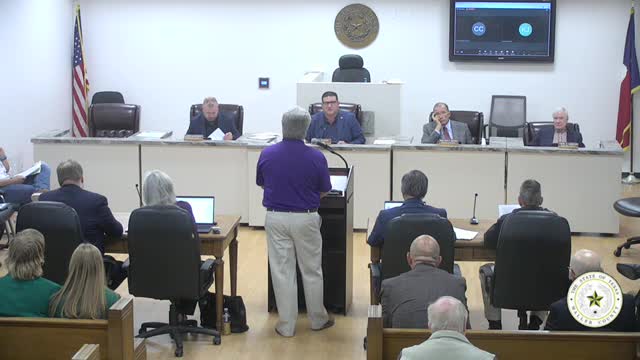
Waller County commissioners table final plats for Woodhaven Estates after residents raise flooding concerns
Summary
After a resident raised flood-risk concerns and asked what recourse neighbors would have if grading changed local topography, Waller County commissioners paused final-plat action on Woodhaven Estates so staff can investigate drainage and floodplain compliance.
Waller County Commissioners Court on Tuesday voted to table action on the final plats for Woodhaven Estates after a Remington Forest resident warned recent grading could increase local flooding.
Nick Humphrey, a Remington Forest resident and GIS analyst, spoke during public comment about flood risks he said he identified in county and FEMA mapping. "I know from personal experience… I'm not in a flood plain, but I'm a fear that because of the amount of dirt that they've brought in, that they've raised that so high that we will be flooded," Humphrey told the court.
The county attorney and staff declined to engage in a technical back-and-forth during public comment but allowed Humphrey to ask that agenda items 9–14, the final plats for Woodhaven Estates, be removed from the consent agenda. The court removed those items and later took public comment on them. Commissioner Smith moved to table the plats pending further review; the motion carried.
A county staff member who spoke to the court during the item described the county's floodplain and drainage review process, saying the county enforces standards required by the National Flood Insurance Program and that engineers must demonstrate there will be no increase in peak flow downstream. The staff member also told Humphrey that property owners have civil remedies under Texas law if they can prove a neighboring development caused damaging floodwaters; he cited "Texas Water Code" in describing statutory remedies and said the county uses Atlas 14 rainfall data for hydrologic design.
Commissioner Smith expressed particular concern about drainage at the end of Hunting Trail, where he said a downhill slope and recent filling could leave a single residence with no clear overland drainage path. He said he had not received an "adequate explanation from the engineer nor the contractor" for how water would leave that location and moved to table the plats until the county can demonstrate there will be no adverse impact.
County staff offered to meet with Humphrey on his property and to review engineering submittals and floodplain models; staff also said the county sometimes brings third‑party hydrologic experts to review complex hydraulic models. Judge Trey Duhan told Humphrey the county engineer would notify him when the item returns to the agenda.
The court's action was procedural: the final plats were tabled pending staff review and any needed plan modifications or verification of built conditions against the approved engineering plans.
The court approved other consent items at the same meeting, and the budget public hearing followed the Woodhaven discussion.