Get Full Government Meeting Transcripts, Videos, & Alerts Forever!
Get email alerts on the Land Use topic
No spam. Unsubscribe anytime.
Commissioners uphold Lake Ray Roberts land-use plan, deny one rezoning and approve three estate rezonings
Summary
Denton County Commissioners on Sept. 9 denied a request to rezone a 122‑acre tract near Lake Ray Roberts to R‑3 and approved three separate R‑4 rezonings after public hearings and a unanimous PNZ recommendation to deny the R‑3 request.
Denton County Commissioners on Sept. 9 denied a request to rezone a 122-acre tract near Lake Ray Roberts from agricultural (AG) to R-3 (single‑family, 3‑acre minimum) and approved three separate, smaller rezoning requests from AG to R-4 (residential estate, 4‑acre minimum) for adjacent parcels after public hearings in the Lake Ray Roberts planning district.
The denial involved property identified in meeting materials as LRR06250016 (parcel R59656). Steven Belknap, county planning staff, summarized the case for item 4A and told the court the Planning & Zoning Commission (PNZ) had unanimously recommended denial because the requested R-3 zoning “does not conform to the intended land use” shown on the county’s adopted map. “That is the crux of the conversation,” Belknap said.
Property owners and nearby residents urged different outcomes. Phyllis Kirby Baron, whose family has owned the 122‑acre tract for decades, asked the court to honor what she said was a prior presentation of the map that showed R‑3 for the parcel and asked the court to “honor the 3‑acre designation that was presented to the commissioner’s court in 02/2009.” County staff responded that the official recorded map in the county clerk’s office, which reflects the court’s 2009 action, shows the parcel within the R‑4/R‑5 intended land‑use area and that earlier statements in public meetings did not change the recorded map.
Other neighbors spoke in opposition to the R‑3 request. Elaine Martin urged the court to “follow the Lake Ray Roberts planning and zoning future use plan and keep the property at a minimum of R‑4,” citing environmental and aesthetic concerns. Adjacent property owner David Pennington said his lot and other nearby parcels were already 3 acres or larger and said he opposed changing the intended land use to R‑3.
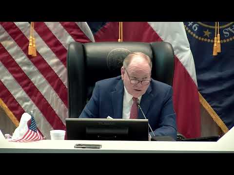
After hearing public comment and staff recommendations, Commissioner Williams moved to deny the R‑3 rezoning request for item 4A; Commissioner Falconer seconded the motion. The court voted unanimously to deny the request.
Later in the same Lake Ray Roberts hearing block the court considered three other, separate rezoning requests (items 4B, 4C and 4D) for nearby parcels. Planning staff told the court those requests met the county’s intended land use for R‑4/R‑5 and PNZ unanimously recommended approval. The court opened public hearings for each item, heard no substantive opposition for 4B–4D, and then approved all three R‑4 rezonings by unanimous votes (motions by Commissioner Williams, seconded by Commissioner Falconer for each item).
Why it matters: The court’s ruling preserves the county’s adopted intended land‑use pattern for the Lake Ray Roberts planning area. Rezoning to smaller-lot designations can increase development density, change drainage and floodplain considerations and affect neighboring properties' rural character.
Clarifying details from the hearing: county planning staff said the lake-area intended land‑use map used a one‑mile buffer from the shoreline as the basis for lake‑adjacency districts; PNZ’s unanimous recommendation against 4A rested on map conformity, not a claim that the property owner lacked standing. The court recorded no split votes — all outcomes were unanimous during the Lake Ray Roberts block.
Next steps: Property owners may pursue other land‑use requests consistent with the county map or submit revised applications. The public record for each case is preserved in the Aug. 24–Sept. 9 meeting documents and the county clerk’s recorded zoning map.