Get Full Government Meeting Transcripts, Videos, & Alerts Forever!
Get email alerts on the Transportation Roads topic
No spam. Unsubscribe anytime.
Storey County adopts three RS 2477 road identifications, delays one after public questions
Summary
The Storey County Board identified three unnamed roads on public land as minor county roads under RS 2477 (resolutions 25-791, 25-792 and 25-794) and continued a resolution covering a longer, segmented route (25-793) after a resident raised mapping and private-versus-public concerns.
The Storey County Board of County Commissioners adopted three resolutions Sept. 2 to identify unnamed roads on public land as minor county roads, preserving public right-of-way on sections that cross Bureau of Land Management and other public lands, and delayed action on a longer, segmented route after public questions about mapping and private-property segments.
Resolutions adopted - Resolution 25-791 (Storey County Road No. 910200): Identified as a minor county road, total segment length 3,948 feet (about 0.75 miles), overall average disturbed width about 16 feet. The board voted to adopt the resolution by unanimous vote. - Resolution 25-792 (Storey County Road No. 910215): Identified as a minor county road, total length 3,942 feet (about 0.75 miles), overall average disturbed width about 18 feet; adopted unanimously. - Resolution 25-794 (Storey County Road No. 910225): Identified as a minor county road, total length 1,876 feet, average disturbed width about 14 feet; adopted unanimously.
Action continued - Resolution 25-793 (Storey County Road No. 910220, commonly called Freedom Hill or Tunnel Road): This route is continuous but is divided into three mapped segments because it crosses different townships/ranges and portions of public and private land. Commissioners voted to continue consideration of 25-793 to the board’s Sept. 16 meeting to allow staff and a citizen with historical research to review mapping and legal descriptions.
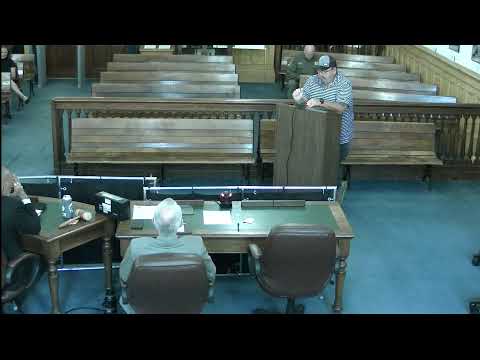
Public questions and staff response Longtime resident Tom Zachary raised multiple procedural and mapping questions during the public hearing, saying the staff packet did not make clear which segments were public and which private. "The purpose of the law is to recognize roads that were built over public land before, 1976," Zachary said, and he urged clearer maps and segment descriptions. Planning staff and the county researcher explained the current approach: staff focused on preserving rights on public land (BLM, U.S. Forest Service, or other federal public lands) and explicitly excluded private-property portions from the current resolutions. Planner Jessica Prager stated, "Within the resolution, it excludes any portion that is on private property." Researcher Lindy Renaud added that the county is not changing legal descriptions at this time and that the exclusion of private-property segments was based on legal counsel guidance.
Why it matters The actions formally protect public use of roads that cross federal public lands and provide a record the county can use if closures are proposed. Citizens and county officials said the topic can be contentious when rights-of-way cross private parcels; the board’s decision to continue one item reflects that complexity.
Votes at a glance - 25-791 (910200): Adopted unanimously. - 25-792 (910215): Adopted unanimously. - 25-793 (910220): Continued to Sept. 16, 2025 for further review. - 25-794 (910225): Adopted unanimously.
Next steps Staff will provide more detailed maps and legal descriptions as requested and will bring the continued item back on Sept. 16. Board members said the county may pursue additional phases of research for roads that staff did not include in the current batch.