Get Full Government Meeting Transcripts, Videos, & Alerts Forever!
Get email alerts on the Coastal Resilience Mapping Sensors Grants topic
No spam. Unsubscribe anytime.
New Shoreham committee reviews 3‑D island maps, sensor plans and state grant request for Corn Neck
Summary
The Town of New Shoreham Coastal Resilience Committee heard a public demonstration of 3‑D elevation maps, discussed deployment of water‑level sensors and an RIDEM request to NFWF for $438,200 to advance designs at three Corn Neck area sites, and reviewed a new prioritized resilience project list.
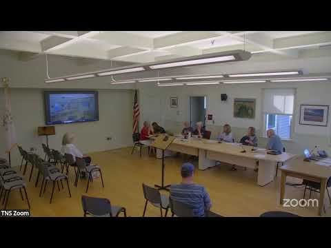
The Town of New Shoreham Coastal Resilience Committee on Block Island heard a public demonstration of 3‑D printed elevation maps, discussed plans to expand water‑level monitoring and sensor networks, and was briefed on a state grant request that would fund design and permitting work at three Corn Neck area sites.
The committee’s resilience coordinator summarized an RIDEM application to the National Fish and Wildlife Foundation seeking $438,200 to advance 100% design and permitting for three priority sites: Southern Corn Neck Road (the revetment area), the Town Beach Pavilion, and Harborside marsh and habitat on the west side of Corn Neck Road. Committee members were told to expect a funding announcement in November.
James Bailey, a Block Island resident who has produced a series of 3‑D printed topographic models of the island, showed the committee several prints and described how the models can help residents visualize low points such as Rodman’s Hollow and pockets of developable land. “I would love a map that shows the flooding during king tides and mean high tides because I’m thinking about Ocean Avenue, Newark in particular,” Bailey said, urging the committee to coordinate maps focused on areas that concern homeowners.
Nora, the town’s resilience coordinator, said the committee should link Bailey with the town GIS lead, and noted existing online mapping tools such as StormTools that the committee can use alongside tactile 3‑D displays. “The water level sensor that belongs to NARACOOS automatically reports to NARACOOS, and anyone can get it,” she said, describing an example of sensors that report in real time and can be used to trigger community alerts.
Committee members discussed options for expanding local monitoring. The group described three currently installed loggers that require manual download (Harbor Pond/Great Salt Pond locations, Trim’s Pond and a sensor near the BI Club) and said a fourth historic logger in Old Harbor is currently unrecoverable until dredging occurs. The committee also reported that Brown University will send a representative to advise on siting and communications for a proposed set of additional sensors that could validate and augment those existing points.
The committee’s resilience coordinator presented a working spreadsheet of prioritized resilience projects, dubbed the Block Island Resilience Projects (BURP), which combines goals from the 2016 comprehensive plan, the municipal resilience program and the 2025 hazard mitigation plan. The spreadsheet groups work into categories (Corn Neck, transfer station, data collection, conservation, outreach, power, stormwater, emergency planning, ordinances) and flags near‑term ordinance priorities such as low impact development (LID) measures, setbacks, and limits on impervious surface.
Members discussed enforcement gaps for coastal buffer and wetlands rules under DEM and CRMC, and emphasized public education as a near‑term step. The committee agreed that the Brown University student project this fall will focus on vegetative buffers and homeowner guidance to complement ordinance research.
Other items discussed included: the town’s “rules of procedures” for council‑appointed boards (circulated to members), an upcoming joint meeting with the Conservation Commission, GZA’s October presentation of nature‑based solutions, and an immediate need to host five marsh researchers from URI for coring work scheduled for the 26th of the month (committee members offered to help with housing and meet the researchers).
Votes at a glance - Motion: Approve minutes of July 8 meeting. Outcome: Approved by voice vote; individual member votes not recorded in transcript. - Motion: Approve minutes of August 5 meeting. Outcome: Approved by voice vote; individual member votes not recorded in transcript.
What the committee directed next - Staff and members will connect James Bailey with town GIS staff and Jean Louis Farge so Bailey’s 3‑D prints can be integrated into StormTools/GIS products and possible public displays (library or town venues). - Committee staff will follow up with Allison Ring and RIDEM for details about remaining funds in current grants and to monitor the NFWF application outcome expected in November. - The resilience coordinator will coordinate with Brown University, GZA/GCA and URI so student projects, sensor siting, and marsh coring align with town priorities and public outreach plans.
Background and context The state grant request through RIDEM to NFWF is a design and permitting request; committee members emphasized that this request does not guarantee construction funding. Members also stressed that many local permitting rules (DEM for freshwater wetlands, CRMC for coastal buffers) remain in force for new or maintenance projects, and that public education and documentation (photos, voluntary reporting) help state agencies track installation performance.
The committee noted it has $2,000 allocated for outreach work and that the community‑outreach subcommittee will incorporate the Brown student project, the 3‑D displays and sensor data into upcoming public events.
The meeting concluded with staff noting next steps: schedule the joint meeting with the Conservation Commission, circulate the BURP spreadsheet for member comment, and continue coordination on sensor siting and the NFWF application.