Get Full Government Meeting Transcripts, Videos, & Alerts Forever!
Get email alerts on the Floodplain Ordinance topic
No spam. Unsubscribe anytime.
County staff to update commissioners on new FEMA floodplain maps before ordinance approval
Summary
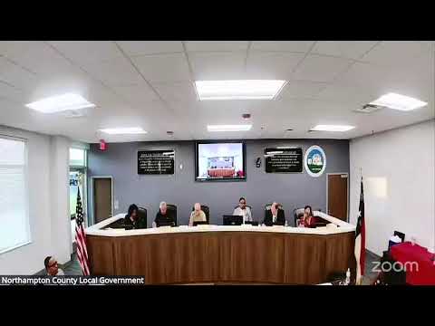
Northampton County presented a draft Flood Damage Prevention Ordinance to incorporate updated FEMA flood maps; staff said the ordinance must be submitted to the state by Sept. 19 and will return to the board for approval at the next meeting with map overlays.
Northampton County code-enforcement staff presented a revised Flood Damage Prevention Ordinance that would replace the county’s 2009 ordinance and incorporate updated FEMA flood maps, staff said.
The ordinance is intended to align county regulations with the new FEMA-designated flood maps so residents remain eligible for flood insurance and potential federal/state reimbursements. The presenter said the change is time-sensitive and must be submitted to the state by Sept. 19.
Commissioners asked staff for a clear summary of differences between the proposed ordinance and the 2009 version. Staff said the primary change is the area covered by the new flood map and that the county will, if possible, provide an overlay showing previous and current flood-map boundaries at the next meeting. The presenter also said FEMA’s local contact is in transition and that the county is awaiting confirmation about records of the older 2009 ordinance.
No vote was taken; staff said the ordinance will return to the board for approval at the Sept. 15 meeting and that staff will provide a comparative overlay of the old and new maps for transparency.