Get Full Government Meeting Transcripts, Videos, & Alerts Forever!
Santa Clara presents alignment options, environmental trade-offs for proposed Calabasas Creek Trail
Summary
At a virtual community outreach meeting, City of Santa Clara Public Works staff and consultants presented alignment options and design considerations for a proposed Calabasas Creek Trail that would run roughly six miles from near Benton Street downstream to the Baylands and a potential connection to the San Francisco Bay Trail.
At a virtual community outreach meeting, City of Santa Clara Public Works staff and consultants presented alignment options and design considerations for a proposed Calabasas Creek Trail that would run roughly six miles from near Benton Street downstream to the Baylands and a potential connection to the San Francisco Bay Trail.
The consultant team lead, Jana Sokow, said most of the proposed route would be built on elevated levees owned by Valley Water and would aim to connect to Caltrain and light rail, local schools including Wilcox High and Mission College, and businesses along El Camino Real. "Most of the trail would be built on existing elevated levees that are owned and operated by Valley Water," Sokow said during the presentation.
Why it matters: the alignment would provide a new continuous active-transportation corridor linking neighborhoods, schools and transit, but it faces technical and environmental constraints — multiple rail and highway crossings, levee ownership and trail-use policies, and sea-level rise and tidal flooding in downstream underpasses.
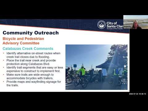
The project and options described
Ralph Garcia, senior civil engineer and project manager for the Creek Trail Master Plan, opened the session and said the meeting was a recorded public outreach step in a multiyear planning process. Consultants described three broad types of crossing treatments where the creek and major infrastructure intersect: elevated pedestrian overcrossings, conventional underpasses where vertical clearance exists, and tunneled underpasses where tracks or drainage infrastructure prevent an open underpass.
At the Caltrain/Joint Powers Board (JPB) corridor, consultants presented three crossing concepts under study: (1) a pedestrian bridge that could replace the existing…
Already have an account? Log in
Subscribe to keep reading
Unlock the rest of this article — and every article on Citizen Portal.
- Unlimited articles
- AI-powered breakdowns of topics, speakers, decisions, and budgets
- Instant alerts when your location has a new meeting
- Follow topics and more locations
- 1,000 AI Insights / month, plus AI Chat