Get Full Government Meeting Transcripts, Videos, & Alerts Forever!
Get email alerts on the Land Use Comp Plan Amendment topic
No spam. Unsubscribe anytime.
Planning commission recommends approval of land-use change for Black Creek parcel despite conservation-map dispute; vote 5–2
Summary
After contested testimony about an after-the-fact bulkhead and whether the parcel sits in a designated conservation area, the Planning Commission recommended approval of a comp-plan amendment and development request for a Black Creek property (CompPlan250004) by a 5–2 vote.
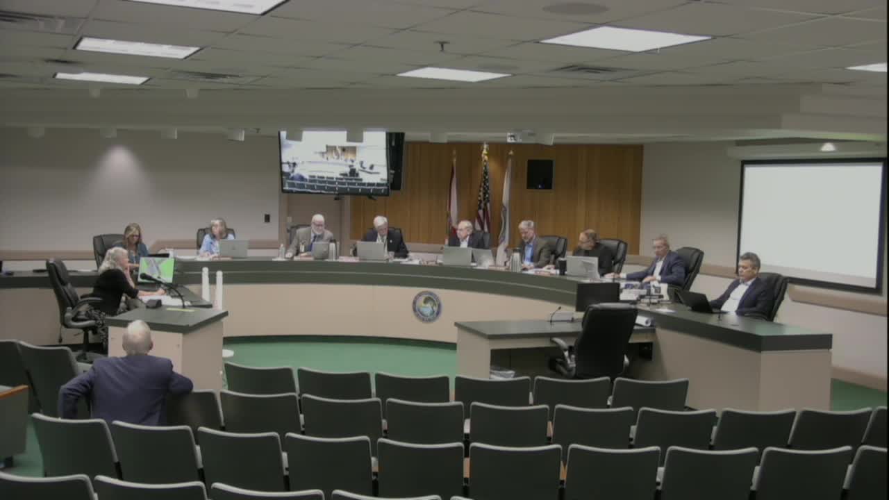
The Clay County Planning Commission on Sept. 2 voted 5–2 to recommend approval of a comprehensive-plan amendment and related development application for a property on Black Creek (CompPlan250004), a proposal that drew sharp questions about whether the parcel is properly shown as conservation land on county maps and about prior permitting from the Florida Department of Environmental Protection.
Applicant representatives said the bulkhead work on the property predated or was permitted in earlier years, and that the owner had obtained required remediation approvals and paid any DEP-required fines. Kathleen Lanahan and her father, James Linehan, described a multi-year history of permits, partial construction of a bulkhead and subsequent state permit activity; Linehan said he obtained an initial permit for a portion of the frontage in the late 2000s and later pursued the remaining work with updated state permits.
Dodie Seelig, chief planner, told the commission she had communicated with DEP staff and that DEP had said requirements related to the prior encroachment and mitigation were satisfied. Commissioners pressed on chronology: whether the work was completed before permits were issued, which led to discussion of inspections, the timing of state versus county approvals and whether the county’s conservation designation (referred to in the meeting as part of the Brannonfield/Brandyfield conservation mapping) should prevent the land-use change.
Several commissioners voiced concern about perceived lack of coordination between state permitting and the county map designation. One commissioner said he was “in a quandary” that DEP issued and closed a permit while county mapping still shows the parcel as conservation. Another commissioner proposed denying the request on that basis, but the motion failed for lack of a second. A subsequent motion to recommend approval passed by voice vote; the clerk recorded the final count as 5 in favor and 2 opposed.
Commission discussion also referenced surveys, wetland delineations and prior mitigation work presented by the applicant; the applicant said he had provided multiple surveys and soil tests showing the buildable upland area and asserted DEP had approved the mitigation and closed the state permit file. Commissioners emphasized that state and county jurisdictions differ: DEP oversees the bulkhead and immediate waterward activities, while county land-use designations drive whether the county will allow new building permits on conservation-designated parcels.
The commission’s recommendation will go to the Board of County Commissioners. The record shows the county asked no formal concurrence from DEP before the vote; staff said they could provide copies of email exchanges with DEP staff documenting that DEP considered its conditions satisfied.