Get Full Government Meeting Transcripts, Videos, & Alerts Forever!
Get email alerts on the Active Transportation topic
No spam. Unsubscribe anytime.
Staff outline Canyon Rim Trail extension options; Trinity Drive multiuse path seen as lower‑cost alternative
Summary
County staff presented options for extending the Canyon Rim Trail west toward the Los Alamos Medical Center on Aug. 19, citing steep terrain, Department of Energy land and cultural/resource constraints along the canyon edge; a Trinity Drive south‑side multiuse path was offered as a lower‑cost alternative requiring fewer easements.
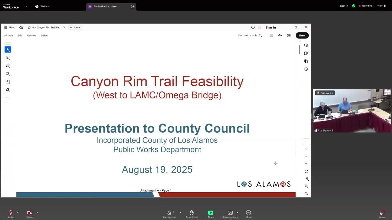
County engineering staff presented background and options Aug. 19 for extending the Canyon Rim Trail from its current western terminus toward the Los Alamos Medical Center and Diamond Drive.
History and constraints: The Canyon Rim Trail appears in the county’s 2011 master plan and was the subject of a 2016 feasibility study. Staff said the traditional canyon‑edge alignments would cross large amounts of land owned by the U.S. Department of Energy and run into steep grades, cliffs, cultural and biological resource areas and extensive existing fill. Those constraints increase construction complexity and cost and add additional requirements such as DOE coordination and possible access controls near sensitive parcels.
Alternative presented: As a lower‑cost, more constructible option, staff proposed creating a 10‑foot multiuse path along the south side of Trinity Drive that would continue the trail function while reducing the need for canyon‑edge retaining walls, bridges and extensive easements. A planning‑level estimate presented for the Trinity Drive segment was roughly $8.5 million; an alternate approach that reconfigures curb and eliminates an existing bike lane was estimated at about $9.5 million. Staff emphasized these were planning estimates and that the 2016 figures would need updating for current prices.
Why it matters: The canyon‑edge alignments would achieve a scenic route along the rim but are technically and politically more complex because they require DOE agreements and have potential environmental, archaeological and security constraints. A Trinity Drive alignment would reduce DOE coordination needs and lower initial construction cost, but it carries local tradeoffs: on‑street parking and driveway access in residential stretches and potential tree impacts. The corridor also intersects SR‑502 (a state facility), so coordination with New Mexico Department of Transportation would be necessary.
Staff next steps recommended by presenters: further feasibility and right‑of‑way work, public engagement, evaluation of additional alternatives and early coordination with DOE and NMDOT if council wishes to pursue design beyond the currently funded Canyon Rim Trail Phase 3 work. No funding for a new feasibility study or construction beyond Phase 3 was included in the county’s current CIP as of the briefing.