New CAL FIRE maps expand city fire-hazard zones; LAFD says brush‑clearance rules won’t be enforced until 2026
Get AI-powered insights, summaries, and transcripts
Subscribe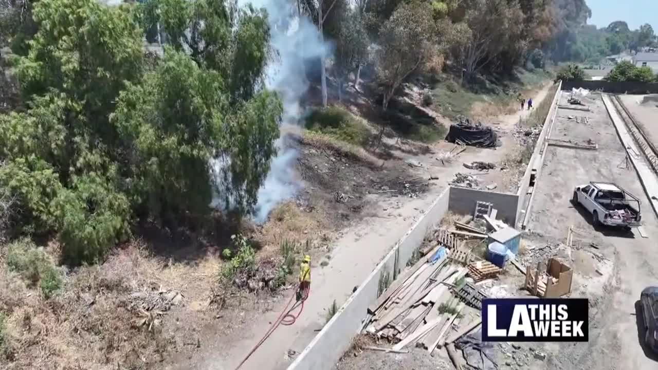
Summary
The Los Angeles Fire Department briefed council visitors on a state update to CAL FIRE hazard maps and explained revised brush‑clearance guidance; inspections and new enforcement were described as not taking effect until 2026.
Los Angeles Fire Department officials told audiences that the state’s recent update to CAL FIRE’s fire‑hazard severity mapping will expand the number of parcels identified as high‑ or very‑high‑hazard within the city and that the department will not begin inspections tied to those map changes until 2026.
An LAFD brush‑clearance unit representative explained the difference between informational mailers and notices and reiterated that the department’s informational mailer is not itself a citation or a penalty. “A lot of people get this confused with a notice. It's not a notice. It's not a violation,” the representative said during a presentation to the council chamber.
The department walked through the traditional clearance model (200 feet measured from structures, grass and weed heights, roadside clearance, tree lifting and vertical clearance over roofs) and directed residents to an online resource listing 14 specific clearance items in effect for 2025. The speaker said the CAL FIRE map update — the first since February 2014 — incorporates science‑based inputs including ember behavior, fire history and topography. The official said the city’s very‑high hazard zone expanded by roughly 20,000 properties and that when moderate and high zones are included, a much larger acreage increase was identified on the new map.
LAFD staff emphasized that properties newly designated on the state map will not be inspected by the city until 2026 and that the 2025 clearance requirements remain those previously in effect for 2024. Residents with questions were directed to vms3.org (clearance requirements tab) and to the department’s informational materials.
No ordinance or enforcement change was adopted at this meeting; the briefing was informational and intended to notify the public of mapping changes and the timeline for inspections and enforcement.