Get Full Government Meeting Transcripts, Videos, & Alerts Forever!
Get email alerts on the Riparian Restoration topic
No spam. Unsubscribe anytime.
Bend planning commission approves removal of Firerock footbridge, requires riverbank restoration
Summary
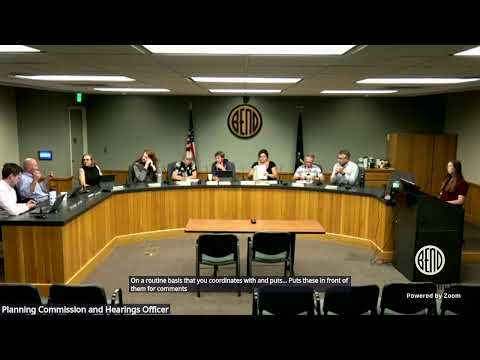
The Bend Planning Commission on Aug. 25 approved an application to remove the decades-old Firerock footbridge over the Deschutes River, replace an east‑side staircase to retain public access and require a restoration plan and permits from state and federal agencies.
The Bend Planning Commission on Aug. 25 unanimously approved a waterway overlay zone application (PLWOZ 20250363) to remove the Firerock footbridge over the Deschutes River and carry out riverbank restoration, while keeping a rebuilt staircase on the east bank for public access.
Planning staff said the timber bridge, built in the 1970s to carry a water line, has fallen into disrepair and the water line beneath it is no longer in service. "Hi. Good evening, Aaron Henson, senior planner. We're here to talk about the, proposal to remove the FireRock footbridge and to restore, that's, area of the river," Aaron Henson told the commission during the staff presentation.
The property at the riverbank consists of a publicly owned parcel on the east side and a privately owned parcel on the west side held by the Rimrock West Homeowners Association. City engineering project manager Carter Lawrence said the bridge was inherited by the city's water services when the neighborhood was annexed and closed to public use after a 2015 condition assessment. "This infrastructure was inherited by, water services with the city when the neighborhood was incorporated," Lawrence said.
A Jacobs condition assessment presented by consultant Britney Hughes found the timber structure—"40 to 50 years old"—was "fairly structurally deficient," with inadequate concrete footing support. Hughes said that assessment and subsequent outreach informed a revised proposal that now includes replacing the steep east‑side staircase rather than removing it.
City engineers and the applicant described the approved scope as: removal of the wooden bridge and its eight concrete piers, replacement of the east‑side staircase with a code‑compliant structure that includes an intermediate landing, and possible removal and in‑kind replacement of the west‑side stair if heavy equipment requires access from that side.
The commission record lists multiple required state and federal permits. Staff and the applicant said the Division of State Lands (DSL) component has been issued, the Army Corps of Engineers Section 404 review is under way and Oregon Department of Environmental Quality (DEQ) 401 certification must follow land‑use approval. The project team also said it has an Oregon Department of Fish and Wildlife (ODFW) fish passage plan approval and will apply for scientific‑take permits and remaining authorizations in the year the work takes place. The team plans to do in‑river work during the 2026 in‑water work window (July 15–Oct. 15) and do restoration plantings in the fall, followed by a three‑year restoration warranty period.
The applicant identified one regulated tree that may need removal: an 18‑inch ponderosa pine near the west approach. The team said it will replant replacement trees and use erosion and sediment controls (silt fence, straw wattles, removable erosion control mats where equipment touches the bank) and restore native riparian species including bulrush plugs, red‑twig dogwood, bitter cherry, golden currant and antelope bitterbrush.
Residents urged stricter restoration assurances. Joseph Hesbrook, who lives above the bridge, said the area is effectively his family's backyard and asked that the area be returned "exactly or near exactly the way it was." Jerry Wine, a Rimrock West resident, asked the commission to add a requirement that the site be "totally and fully restored to the way it is now and that this be done to the satisfaction of the HOA." Both speakers raised past examples of city work where landscaping commitments went unmet and sought stronger guarantees for this project.
City attorney Michael Selkirk told the commission that ownership and obligations dating from annexation documents in the 1990s are unclear but that the city has taken responsibility for the unsafe bridge. "The city has taken responsibility for the bridge, and that's why we're removing it because it's unsafe," Selkirk said.
Commissioners discussed public access, safety and limits of city authority because the west bank is private. Several commissioners said they were glad the revised proposal preserves public access from the east bank while addressing safety risks posed by the bridge. After deliberation, a commissioner moved to approve the application "with the findings and conditions recommended by staff." The motion passed with all voting in favor.
Next steps outlined in the staff recommendation require the applicant to obtain all remaining local, state and federal permits and provide copies to city staff before construction. The project team told the commission it will submit remaining scientific‑take permits in January 2026 and expects to bid and perform construction in the 2026 in‑water window, then complete riparian planting and a three‑year restoration monitoring and replacement period.