Get Full Government Meeting Transcripts, Videos, & Alerts Forever!
Get email alerts on the Mineral Extraction topic
No spam. Unsubscribe anytime.
Neighbors oppose proposed 453‑acre sand mine; planning board votes 3–2 to recommend denial
Summary
After extended public comment raising groundwater, dust and traffic concerns, the Charlotte County Planning and Zoning Board voted 3–2 to recommend denial of a plan amendment and rezoning that would allow a 453‑acre commercial excavation and mining operation in eastern Charlotte County.
The Charlotte County Planning and Zoning Board voted 3–2 to recommend denial of application PL‑25‑01 (a large‑scale plan amendment to Mineral Resource Extraction, MRE) and its companion rezoning Z‑25‑12 (to Excavation & Mining, EM) for approximately 453.27 acres owned by Thomas J. Chastain Jr.
Staff presentation and findings Jay Shao, community development planner, reviewed the requests and county standards for Mineral Resource Extraction (MRE) and Excavation & Mining (EM) zoning. Shao said the property is located in the rural service area north of Burmont Road and west of State Road 31 in Commission District 1, is approximately 453.27 acres, and is outside mapped MRE prohibited areas, outside the prime aquifer recharge area, and outside a one‑half‑mile setback to Shell Creek system. Shao noted isolated wetlands on the property and nearby residences. She said the site meets the MRE minimum acreage and that the applicant submitted a transportation impact statement; county transportation engineering staff agreed the additional trips would not significantly degrade level of service on Burmont Road but recommended a left‑turn lane.
Shao described required mitigation under the MRE designation including a wildlife‑corridor conservation easement for a portion of the property, submittal of a post‑excavation reclamation plan and final conservation easement prior to issuance of local excavation permits. She concluded by saying staff’s professional opinion was that the large‑scale amendment and rezoning “meets and is consistent with all requirements” in the comprehensive plan and county code, subject to standard permitting steps.
Public comment and concerns Several dozen residents and local planners spoke during an extended public‑comment period and raised recurring themes: groundwater and watershed risks to Shell Creek and the Peace River, dust and health concerns for people and livestock, increased heavy‑truck traffic and potential roadway safety hazards on local two‑lane roads (Burmont/Beaumont/Vermont Road), property‑value loss, and the cumulative effect of existing and pending mining operations nearby.
Speakers included retiree and longtime resident Carrie DeHart, who told the board: “The proposed rezoning would permit the owners in time to operate a dirt mining operation.” Richard Little, who owns property that abuts the site, said the proposal’s proximity to Shell Creek raised “significant” drinking‑water risk concerns. Max Forgy, a planning consultant representing several neighbors, cited Florida Statutes 163.3164’s definition of compatibility and urged the board not to amend the comprehensive plan for the site, saying the proposed mining operation would have “undue negative impact” on surrounding residences.
Other commenters described local flooding and drainage concerns, historical changes to on‑site ponds, and questioned whether a full, independent wetlands delineation and hydrologic review had been completed. Several speakers said there are already multiple mines in the broader area (including operations and those in permitting) and warned of cumulative impacts from approving another large excavation.
Applicant response Attorney Rob Berenson, representing the applicant, argued the site meets the locational and size criteria for MRE under the comprehensive plan, that the county needs material for road and development projects, and that the applicants would comply with permitting and mitigation requirements, including traffic mitigation. He requested the board recommend approval. A county transportation engineer and a consultant provided technical responses on traffic counts and the TIS; the consultant said the pit would add roughly 22 trucks per peak hour to Burmont Road and that impacts did not exceed adopted level‑of‑service thresholds.
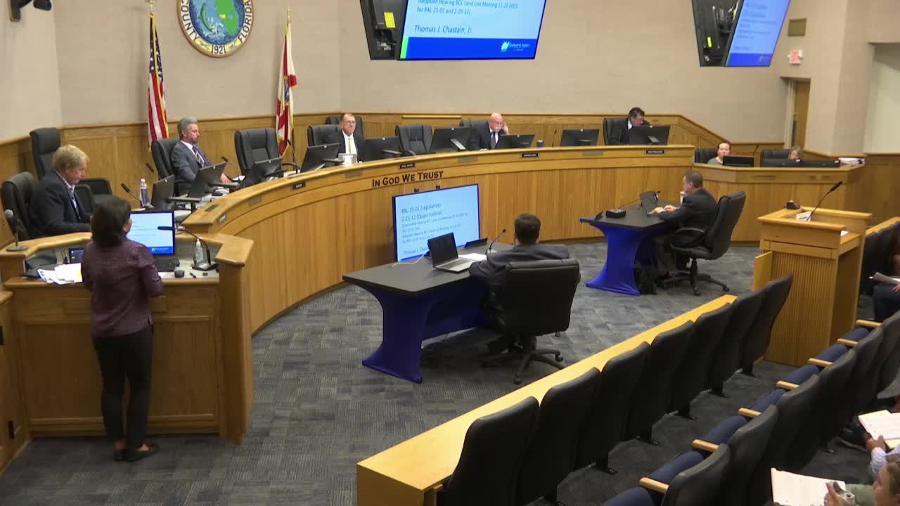
Board action After more than two hours of testimony and discussion, a motion was made to forward PL‑25‑01 to the Board of County Commissioners with a recommendation of denial of transmittal to the state review agencies. The motion passed 3–2. The companion motion to forward Z‑25‑12 with a recommendation of denial also passed 3–2. Board members opposing the recommendation to deny said the landowner has property rights and the site meets certain locational criteria; members voting to deny cited watershed, cumulative‑impact and community‑compatibility concerns.
Next steps The Planning and Zoning Board’s recommendation will be transmitted to the Board of County Commissioners, which will consider the land‑use amendment and rezoning at a future hearing. If the BCC transmits the plan amendment to state review, the state agencies will review consistency with statutes; if the BCC accepts the board’s recommendation to deny transmittal, the applicant may revise and refile or appeal.
Key factual details reported to the board - Site area: approximately 453.27 acres. - Location: north of Burmont Road, west of State Road 31; Commission District 1. - Nearby resources: isolated wetlands on site; Shell Creek watershed nearby; multiple private wells and residences within 500 feet and within the half‑mile study area (staff tallies shown in packet). - Staff recommendations: staff found the applications consistent with MRE criteria and county code, subject to permitting processes (wildlife corridor, conservation easement, reclamation plan, TIS mitigation).