Get Full Government Meeting Transcripts, Videos, & Alerts Forever!
Get email alerts on the Small Area Planning topic
No spam. Unsubscribe anytime.
Buncombe County launches public engagement for Swannanoa small area plan; wildlife agency provides $10,000 technical assistance
Summary
Planning staff outlined a public engagement timeline for the Swannanoa small area plan, including boundary and SWOT polls, hazard vulnerability work, contracts with Land of Sky Regional Council and a $10,000/80‑hour technical assistance award from the North Carolina Wildlife Resources Commission.
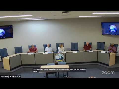
Shannon, a Buncombe County planner, briefed the Planning Board on July 21 on the county's rollout of the Swannanoa small area plan, saying the public engagement phase began with a July 1 kickoff and will include a sequence of polls, community events and a December design workshop to produce a future land use map.
Shannon (Buncombe County planning staff) said staff are completing an existing‑conditions study drawing on census and GIS data and will include a hazard vulnerability assessment using recent FEMA data and other post‑Helene risk information. She said the hazard work is intended to inform resilience recommendations later in the planning process.
The county contracted Land of Sky Regional Council as the land‑use planning consultant and will work with several local subcontractors. Shannon named Mary Roderick as the primary Land of Sky contact. Shannon also said the county applied for and will receive technical assistance from the North Carolina Wildlife Resources Commission consisting of a $10,000 grant and up to 80 hours of technical assistance focused on conservation‑based land‑use planning — wildlife, habitat and conservation recommendations that will feed into the small area plan.
Shannon described coordination with community organizations and other local efforts: Mountain True is providing a recovery‑action planning process through the Appalachian Design Center and will focus on community‑led disaster recovery work; local organizations such as Swannanoa Grassroots Alliance and Swannanoa Communities Together are partners for outreach. Shannon said the county aims to reduce duplication of meetings by coordinating polls and events with those groups.
On outreach to displaced households, Shannon said the county's Community Assistance/Engagement (CAPE) team and partner organizations will help reach households that have been displaced. Shannon said the county will also send a letter by mail to the mailing address of every parcel in the Swannanoa study area to try to reach affected residents, including those with forwarded mail.
Shannon described engagement tools that are open now or imminent: an active boundary poll (asking respondents to identify where Swannanoa's boundaries lie, based on multiple maps) and an upcoming SWOT (strengths, weaknesses, opportunities and threats) poll that includes resilience priorities. Shannon said the SWOT poll and related engagement events will run through August; the steering committee will review public input and help staff draft the plan. Commissioners are scheduled to appoint steering‑committee members on August 5; staff said they received 45 applicants for 11–13 membership slots and provided a recommended short list to the commissioners.
The county plans several informal and drop‑in events — for example, a "pizza with a planner" session at Good Company and information tables at community markets — plus virtual options. Shannon asked the Planning Board to participate in a deeper review of engagement findings and noted staff will provide the Planning Board with a longer SWOT questionnaire in August for review.
No formal Planning Board vote occurred on the Swannanoa plan at the July 21 meeting; the presentation was an informational update. Shannon said the plan process will use the county’s comprehensive plan goals and produce Swannanoa‑specific policies and actions.
What’s next: boundary and SWOT polls will be active in July–August, the steering committee will be appointed Aug. 5, and staff anticipates a design workshop in December to develop the future land use map.