Get Full Government Meeting Transcripts, Videos, & Alerts Forever!
Get email alerts on the Planning Sa Tomorrow topic
No spam. Unsubscribe anytime.
Planning department outlines SA Tomorrow implementation, subarea plans and rezoning work
Summary
San Antonio’s Planning Department previewed its proposed FY26 budget and described ongoing SA Tomorrow subarea planning, rezoning work, regional coordination and implementation steps including neighborhood-level design standards and CPTED reviews for revitalization areas.
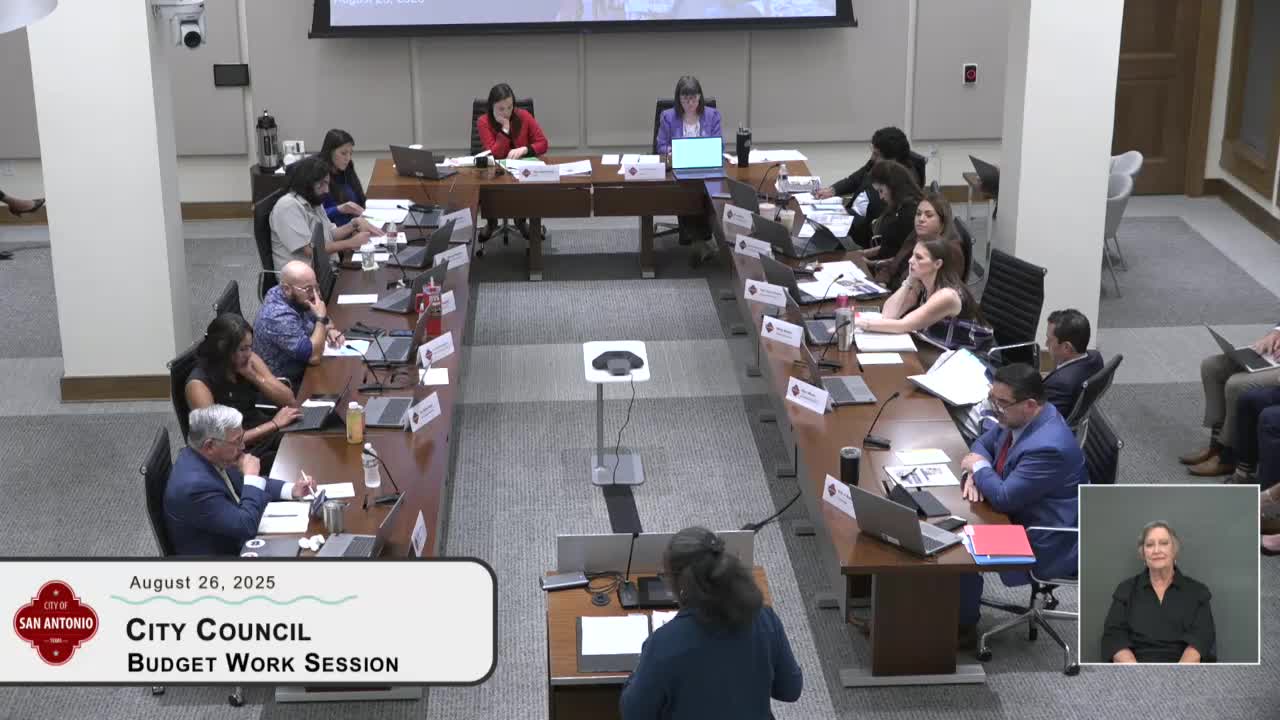
Bridget White, director of the city’s Planning Department, provided City Council members on Tuesday with an overview of the department’s proposed FY26 budget and a status update on SA Tomorrow subarea planning and implementation work.
White said the department’s FY26 general-fund proposal is $4,400,000 with the same position count as FY25 (24 positions) and a modest contract-and-commodity reduction that staff called “rightsizing.” She said about 41% of the requested budget is tied to SA Tomorrow subarea planning work.
Why it matters
SA Tomorrow is the city’s long-range planning framework. The subarea plans, once complete, will create the city’s first consolidated future land-use map and inform rezoning and implementation decisions across San Antonio’s community areas and regional centers.
What the department described
- SA Tomorrow background: White noted the city adopted three SA Tomorrow plans in 2016 — a comprehensive plan, a multimodal transportation plan and a sustainability plan — and that the department is implementing those citywide policies through a phased subarea planning program. The subarea work is organized into 30 geographic plan areas (13 regional centers; 17 community areas).
- Progress and timeline: Eleven subarea plans have been adopted to date. Phase 1 includes five adopted plans with the final plan in that phase (West Side community area plan) expected next fiscal year. All six Phase 2 plans have been adopted; Phase 3 plans are forthcoming with the first anticipated for council adoption the next month. Phase 4 is under way.
- Implementation and rezoning: White said adopted subarea plans guide city-initiated rezoning to align zoning with the subarea future land-use designations. She described an upcoming city-initiated rezoning of parts of the Denman neighborhood within the adopted Medical Center Area Regional Center plan as an example of zoning aligned to subarea goals and neighborhood priorities.
- Revitalization and targeted programs: White highlighted the Northeast Corridor Revitalization Program, including an enhancement grant program and Tax Increment Reinvestment Zone (TIRZ) No. 30-driven projects for streetscape and wayfinding. She said northeast corridor design standards are slated for council consideration next month and that staff is updating earlier market studies and revitalization plans.
- CPTED and safety integration: The planning department is coordinating with the Office of Integrated Community Safety and police on crime-prevention-through-environmental-design (CPTED) analyses that will feed into revitalization plans.
Council questions and requests
Council members asked for more implementation-level detail and tracking. Council Member Munguia asked staff to track instances where approved land-use plans are later changed through zoning approvals so council can see how often adopted plans are revised in practice. Council Member Galvan asked for clearer accountability and coordination between planning and economic development for implementation of adopted plan recommendations. White said the department is revising plan formats for Phase 3 onward to identify implementation priorities and potential funding sources.
Other items
White said the department is preparing its first extraterritorial jurisdiction (ETJ) land-use plans for areas near Camp Bullis and Lackland that were designated for military protection. She also described corridor-specific work such as the Goliad Road Revitalization Plan and Bandera Road Corridor Phase 2.
Ending
Council members requested more accessible public communications about subarea plan timelines and status; White suggested using council-office newsletters and committed to broader outreach. Staff said the planning department will continue to integrate adopted citywide policies (such as transit-oriented development and affordability strategies) into subarea plans as those policies and the subarea maps are finalized.