Get Full Government Meeting Transcripts, Videos, & Alerts Forever!
Get email alerts on the Right Of Way Dog Ridge topic
No spam. Unsubscribe anytime.
Dearborn County tables Dog Ridge right-of-way decision after hours of public comment
Summary
The Board of Commissioners deferred action on a request to reopen and upgrade a long-unused section of Dog Ridge Road to provide driveway access to a 58-acre parcel. Residents and landowners urged delay while survey evidence and legal claims are reviewed.
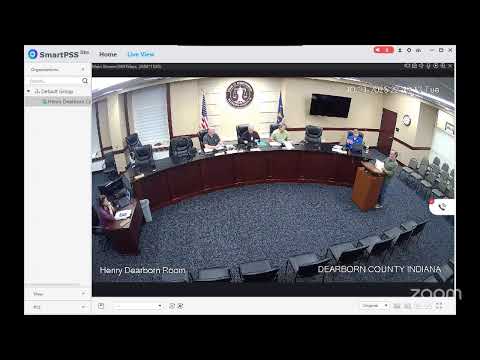
Dearborn County commissioners on Oct. 21 voted to table consideration of a petition to reopen and upgrade a historic right-of-way along Dog Ridge Road until the board's next meeting on Nov. 18.
The item drew more than an hour of testimony from residents, multiple surveyors and county staff about whether an apparent county right-of-way historically crossed private parcels and whether the route shown on a recent pro forma survey matches older atlases and aerial photos. Dennis (county staff) provided historical maps; Danny Krause, a surveyor, described physical evidence of an old roadbed and his retracement work. Dan Sievers, the property owner seeking access, said the work to create an alternative panhandle access would be “virtually impossible” because of topography and creek crossings and that he seeks only a short driveway for recreation. “We just simply wanna put a little driveway back there,” Sievers said.
Opponents said the pro forma survey does not match family records, multiple atlases and a 1937 aerial photo and warned reopening a right-of-way could lead to future subdivision and loss of rural character. Gregory Highland, whose family provided a 1903/1904 easement in archives, said the aerials and family lore show the road went through his parcel, not along the boundary shown by the new survey, and objected to reopening what he described as an abandoned corridor. “We do oppose this plan that goes down through, past the existing right-of-way that John Joseph signed in 1903,” Highland said.
County Engineer Todd Lewis said the county typically relies on surveyors’ retracement and historical evidence to determine whether an old right-of-way exists and that reopening or accepting maintenance of a road would require the road to be upgraded to county standards and commissioners to accept it. Lewis also said owners sometimes petition the board before investing in road upgrades so they know whether the county would accept maintenance later.
After public comment, a commissioner moved to table the item to the Nov. 18 meeting; the motion carried. Commissioners and staff told speakers they would try to provide electronic copies of materials and arrange for survey visuals to be displayed at the next hearing.
Why it matters: The decision affects land access, property rights and future development potential for multiple adjoining parcels in the Dog Ridge area. Residents emphasized potential loss of rural character and tree cover; the petitioner said the intent is limited recreational access.
The board instructed staff to return with further documentation, clearer survey graphics for display, and any legal findings before taking final action at the next meeting.