Get Full Government Meeting Transcripts, Videos, & Alerts Forever!
Get email alerts on the Transportation Planning topic
No spam. Unsubscribe anytime.
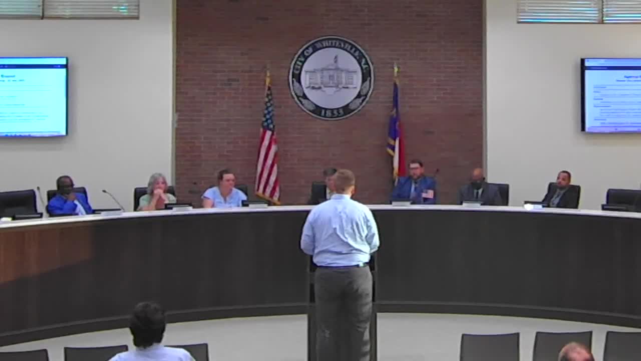
Planner briefs Whiteville council on Columbus County Comprehensive Transportation Plan and future needs
Summary
Regional planner presented the Columbus County Comprehensive Transportation Plan (CTP) — a 20-to-30-year, multimodal needs assessment — highlighting congestion and safety hotspots, potential regional rail and transit connections, and bicycle/pedestrian recommendations; councilors asked about projected population and traffic growth.
A regional planner presented the Columbus County Comprehensive Transportation Plan (CTP) to the Whiteville City Council, describing it as a needs-based, long-range multimodal plan intended to identify corridor needs and guide project selection and funding priorities.
The presenter said the CTP looks 20 to 30 years ahead and assesses congestion, safety and multimodal needs across the county. He told the council, “CTP, the comprehensive transportation plan, is a needs based long range multimodal plan transportation plan. So long range, we'll look at things 20 to 30 years out in terms of land horizon.” The presentation used 2022 as the base-year data and projected to 2045.
Key findings shown to the council included projected future congestion and identified hotspots. The presenter noted congestion concerns along JK Powell and projected issues at the intersection of Madison, Lee and Franklin streets, and along Washington Street. Crash data from 2017 to 2021 were plotted on maps to identify intersection “hot spots” for safety improvements. The presenter said those maps are intended to identify needs rather than to propose final project designs.
Multimodal elements discussed included existing regional bus service (the presenter cited a regional Greyhound route) and a recommendation in the plan to consider reestablishing a rail line connecting parts of the county to the port in Wilmington as an economic-development and transit option. The plan also maps potential bicycle and pedestrian facilities, including on-road paved/striped shoulders and off-road multiuse paths where feasible.
The presenter explained how the CTP informs later project steps: the RPO and the state DOT can use the plan to identify projects for the state’s prioritization and funding process, to support grant applications and to guide maintenance- or safety-focused improvements.
A council member asked whether the plan assumed population growth. The presenter replied there was not a large projected population increase and that much of the modeled traffic growth was drawn from historical travel and traffic-volume trends rather than an assumption of explosive population growth. The presenter summarized that the model “is just relying on historical data.”
Ending: The planner presented the CTP for the council’s consideration for adoption and offered to answer technical questions; no formal council vote on adoption was recorded in the transcript excerpt.