Get Full Government Meeting Transcripts, Videos, & Alerts Forever!
Austin watershed officials outline preparedness, operations and funding needs after recent intense storms
Summary
City Watershed Protection staff reviewed flood history, new mapping work, regulations and on-the-ground response capacities, and said updated floodplain maps, ongoing projects and funding remain critical to future resilience.
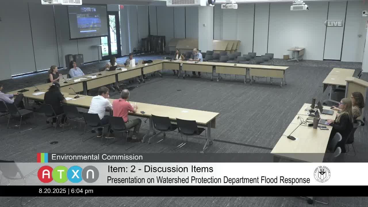
City of Austin Watershed Protection Department staff briefed the Watershed Protection Commission on July 15 on flood history, updated mapping and preparedness measures and urged continued funding to complete planned projects.
The presentation, led by Kevin Shunk, the city's floodplain administrator in Watershed Protection, and John Beachy, division manager for operations, summarized recent storm impacts, the department's operational response, and ongoing efforts to update floodplain maps and plan mitigation work. "We're really thinking through what we need to do — not if it happens in Austin, but when it happens in Austin, because we know it will," Shunk said.
Watershed staff framed the briefing around four topics: flood history and mapping, regulatory protections, preparedness and operations, and capital and grant funding. They reiterated that Atlas 14 rainfall data and other recent studies have prompted a citywide update of floodplain models and maps for all waterways with drainage areas of 64 acres or more. Shunk said the updated maps will be used for public outreach, permitting and to design flood‑risk reduction projects.
The presentation listed several longstanding and newer regulatory protections used by Austin in addition to FEMA's minimum standards: a no‑rise standard for proposed development (Austin requires zero increase in flood levels while FEMA's minimum standard allows up to a 1‑foot rise); a 2‑foot freeboard requirement for finished floors above the 100‑year floodplain (FEMA's minimum is 0 feet); a citywide safe‑access requirement for egress to the right of way; and a 10‑year rolling approach to the substantial improvement rule used to determine when older, nonconforming structures must be brought into compliance. "At least 2 feet [of freeboard] — that's…
Already have an account? Log in
Subscribe to keep reading
Unlock the rest of this article — and every article on Citizen Portal.
- Unlimited articles
- AI-powered breakdowns of topics, speakers, decisions, and budgets
- Instant alerts when your location has a new meeting
- Follow topics and more locations
- 1,000 AI Insights / month, plus AI Chat