Get Full Government Meeting Transcripts, Videos, & Alerts Forever!
Get email alerts on the Floodplain Management topic
No spam. Unsubscribe anytime.
Austin watershed officials outline preparedness, operations and funding needs after recent intense storms
Summary
City Watershed Protection staff reviewed flood history, new mapping work, regulations and on-the-ground response capacities, and said updated floodplain maps, ongoing projects and funding remain critical to future resilience.
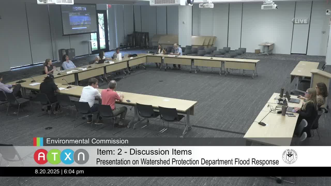
City of Austin Watershed Protection Department staff briefed the Watershed Protection Commission on July 15 on flood history, updated mapping and preparedness measures and urged continued funding to complete planned projects.
The presentation, led by Kevin Shunk, the city's floodplain administrator in Watershed Protection, and John Beachy, division manager for operations, summarized recent storm impacts, the department's operational response, and ongoing efforts to update floodplain maps and plan mitigation work. "We're really thinking through what we need to do — not if it happens in Austin, but when it happens in Austin, because we know it will," Shunk said.
Watershed staff framed the briefing around four topics: flood history and mapping, regulatory protections, preparedness and operations, and capital and grant funding. They reiterated that Atlas 14 rainfall data and other recent studies have prompted a citywide update of floodplain models and maps for all waterways with drainage areas of 64 acres or more. Shunk said the updated maps will be used for public outreach, permitting and to design flood‑risk reduction projects.
The presentation listed several longstanding and newer regulatory protections used by Austin in addition to FEMA's minimum standards: a no‑rise standard for proposed development (Austin requires zero increase in flood levels while FEMA's minimum standard allows up to a 1‑foot rise); a 2‑foot freeboard requirement for finished floors above the 100‑year floodplain (FEMA's minimum is 0 feet); a citywide safe‑access requirement for egress to the right of way; and a 10‑year rolling approach to the substantial improvement rule used to determine when older, nonconforming structures must be brought into compliance. "At least 2 feet [of freeboard] — that's what the regulations say," Shunk said, adding that Austin requires that across the city.
Beachy described the department's mitigation and operations work. He said Watershed Protection employs roughly 175 staff for operations and maintenance and manages more than 30,000 storm‑drain inlets, about 1,100 miles of storm drains, roughly 1,150 stormwater control measures and more than 800 miles of channels. The department runs a flood early warning system staffed with hydrologists and technicians, operates a department operations center for incident management, deploys reconnaissance teams after storms and coordinates debris management with other city offices and contractors. "The flood early warning system team is the tip of the spear," Beachy said.
Staff described recent storm responses: during the May 28 microburst event the city closed eight low‑water crossings and identified 35 flooded structures; during July 5 flooding they closed additional crossings, responded to roughly 170 service requests and have removed about 500 tons of debris tied to that event. Beachy said about 300 service‑at‑risk reports were processed for the May event and that reconnaissance teams were sent to targeted neighborhoods to gather rainfall, stream and impact data.
Staff highlighted tools and outreach: atxfloodsafety.com and ATXFloodPro are primary public information sources; stream and rain gauge data are shared regionally through LCRA's HydroMet; the city has installed roughly two dozen still‑image cameras at critical low‑water crossings; and the department conducts community popups and the Rain to River strategic planning effort. Staff also noted training requirements (ICS 100/200) for personnel and new internal procedures for the department operations center.
On funding and projects, staff said the department has completed phases of about 114 flood projects since 2001 with roughly $567,000,000 in total costs and has used bonds, drainage charge transfers, revenue and grants. Beachy told commissioners the department has identified approximately $2 billion in capital needs; funding from the 2018 bonds will be spent down by 2026. In the public Q&A, Commissioner Solow noted a larger citywide capital estimate of $3.9 billion and a possible 2026 bond capacity in the $690 million range, highlighting a funding gap commissioners pressed staff to prioritize. Staff said prioritization and tiering of capital projects is part of their selection process and that they pursue grants and other sources where possible.
Commissioners pressed staff on several issues. Commissioner Garcia asked whether federal cuts to agencies such as the National Weather Service had reduced warning capability; Shunk and Beachy said city monitoring is robust and that rapid, high‑intensity localized storms limit forecast and lead time regardless of federal resources. Commissioner Breimer requested clarification of FloodPro map legend items (FEMA floodplain layers vs. "fully developed" assumptions) and asked about historic storms such as Hermine and local low‑water crossing projects; staff said county projects such as a Spicewood Springs bridge are being coordinated with Travis County but staff did not have schedules for the county project. Vice Chair Gruber and others asked about the relationship between the city's regulatory maps and FEMA's mapping process: staff explained the city models to the best local data (Atlas 14) and then provides final products to FEMA for map updates.
Public commenter Frances Acuna, a community leader and organizer, praised Watershed Protection's outreach and called for more inclusion of nature‑based and green infrastructure approaches. "Watershed Protection has done an amazing work in being inclusive with residents," Acuna said.
Staff clarified several points raised by commissioners: there are no large active buyout programs under way in Austin at this time though some Corps of Engineers projects that included buyouts have been completed; the city's detention design standards for new development use current rainfall data, including Atlas 14, so new detention facilities will be designed using updated storm values; and the substantial improvement rule is enforced through building permits and site plan reviews.
On warning and notification, staff said the flood early warning team monitors forecasts, gauges and stream sensors and coordinates time‑sensitive messages with Austin Homeland Security and Emergency Management and the public information office. They acknowledged limits to lead time for small, intense storms and noted a need to balance alert fatigue with timely warnings.
Shunk and Beachy said the department will finish citywide floodplain updates, continue Rain to River planning, maintain the early warning and operations program and pursue capital funding. Commissioners urged clearer public communication and more permanent on‑the‑ground visualizations of historic high‑water marks and flood risk. "The visualization that we can do to make people see and understand what that flood risk looks like is very important," Shunk said.
The briefing closed with commissioners thanking staff and encouraging follow‑up on mapping legend definitions, CIP prioritization and outreach materials. Staff committed to sharing explanatory documentation on flood map layers and to continue coordinating with partner agencies on capital projects and emergency response.