Get Full Government Meeting Transcripts, Videos, & Alerts Forever!
Get email alerts on the Trails Redline topic
No spam. Unsubscribe anytime.
Red Line Parkway proponents outline a 36‑mile trail linking river corridors and rail stations
Summary
The Red Line Parkway initiative presented a vision for a 36‑mile dual‑use trail connecting CapMetro rail stations, river corridors and neighborhoods; presenters asked the task force to consider trail funding in the bond package.
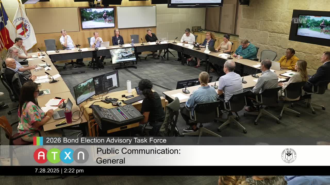
Tom Wald, executive director of the Red Line Parkway initiative, presented the task force with a 36‑mile trail vision on July 28 that would connect the Colorado River to the San Gabriel River, link CapMetro Red Line stations and create a continuous bicycling and pedestrian corridor across multiple jurisdictions.
Wald showed maps and illustrations of existing and proposed segments, described the trail as a regional connector that would require both urban trails funding and parkland acquisition, and compared potential economic and community benefits to projects such as the Atlanta BeltLine.
Why it matters: The Red Line Parkway would create new active‑transportation options, link transit and neighborhood destinations and serve historically underserved communities, the presenter said. The project would require coordination with CapMetro and neighboring jurisdictions and a mix of funding sources because it spans municipal boundaries.
Next steps: Wald left project materials with the task force and asked staff and working groups to consider the trail as part of mobility and parks discussions during bond development. The task force did not take a vote on the proposal at the July 28 meeting.